|
search place name
|
||
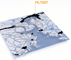
Filtvet (Buskerud, Norway)Filtvet is a town in the Buskerud region of Norway. An overview map of the region around Filtvet is displayed below.
regional and 3d topo map of Filtvet, Norway ::

Filtvet airports ::
The nearest airport is TRF - Torp, located 47.6 km south west of Filtvet.
Other airports nearby include SKE - Skien Geiteryggen (73.6 km south west), OSL - Oslo Gardermoen (74.3 km north), THN - Trollhattan Vanersborg (171.7 km south east), VDB - Fagernes Leirin (176.6 km north west), Nearby towns ::
 Places with similar names to Filtvet, Norway ::
// Vale da Vide (PT)
// Vale de Vaíde (PT)
// Voltveti (EE)
// Valdavida (ES)
// Valdavido (ES)
// Val-David (CA)
// Fulltofta (SE)
// Villtofta (SE)
// Villa Devoto (AR)
Disclaimer :: Information on this page comes without warranty of any kind |
||
|
Where is Filtvet? Elevation and coordinates ::
Latitude (lat): 59°34'25"N Longitude (lon): 10°36'54"E
Elevation (approx.): 17m (map arrows pan, magnifying glasses zoom) |
||
|
Visiting Filtvet? Hotel/Accommodation ::
Book a hotel in Filtvet Travel Guide ::
Buy a travel guide for Norway rental cars ::
car rental offers GPS waypoint ::
download a GPX waypoint (PoI) of Filtvet for your GPS receiver
|
||