|
search place name
|
||
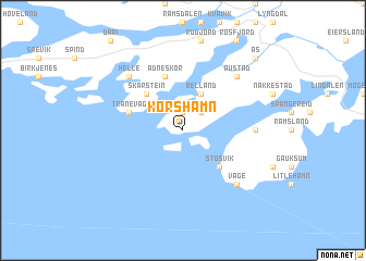
Korshamn (Vest-Agder, Norway)Korshamn is a town in the Vest-Agder region of Norway. An overview map of the region around Korshamn is displayed below.
regional and 3d topo map of Korshamn, Norway ::
Korshamn airports ::
The nearest airport is FAN - Lista, located 23.3 km west of Korshamn.
Other airports nearby include KRS - Kristiansand Kjevik (66.7 km east), SVG - Stavanger Sola (123.1 km north west), TED - Thisted (148.2 km south east), HAU - Haugesund Karmoy (179.3 km north west), Nearby towns ::
Hausvik (1.9km north) //
Holevik (2.1km north east) //
Belland (3.8km north) //
Stusvik (4.2km south east) //
Skarstein (4.2km north west) //
Ådneskor (5.6km north) //
Tranevåg (3.5km north west) //
Haraldstad (3.9km east) //
Helle (6.3km north west) //
Austad (6.3km north east) //
Våge (6.3km south east) //
Ås (8.4km north east) //
[all distances 'as the bird flies' and approximate] 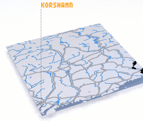 Places with similar names to Korshamn, Norway ::
// Karachiman (AZ)
// Korshamn (NO)
// Korshamn (NO)
// Korshman (RU)
// Qareh Chaman (IR)
// Qareh Chaman (IR)
// Korshamn (SE)
// Creach Hamon (FR)
Disclaimer :: Information on this page comes without warranty of any kind |
||
|
Where is Korshamn? Elevation and coordinates ::
Latitude (lat): 58°2'0"N Longitude (lon): 7°0'0"E
Elevation (approx.): 52m (map arrows pan, magnifying glasses zoom) |
||
|
Visiting Korshamn? Hotel/Accommodation ::
Book a hotel in Korshamn Travel Guide ::
Buy a travel guide for Norway rental cars ::
car rental offers GPS waypoint ::
download a GPX waypoint (PoI) of Korshamn for your GPS receiver
|
||