|
search place name
|
||
Ban Huai Kong Pae (Mae Hong Son, Thailand)Ban Huai Kong Pae is a town in the Mae Hong Son region of Thailand. An overview map of the region around Ban Huai Kong Pae is displayed below.
regional and 3d topo map of Ban Huai Kong Pae, Thailand ::

Ban Huai Kong Pae airports ::
The nearest airport is LPT - Lampang, located 192.0 km east of Ban Huai Kong Pae.
Other airports nearby include RGN - Yangon Intl (220.3 km south west), Nearby towns ::
Ban Mae Chaba (5.6km north) //
Ban Ko Prae (6.1km south) //
Ban Mo Hae (6.4km south) //
Ban Mae Kon (7.2km east) //
Kyowaingte (7.4km south west) //
Mae Yae Ta (7.8km north west) //
Ban Huai Haeng (9.0km south east) //
Pawkado (10.1km north west) //
Pawkadopo (10.4km north west) //
[all distances 'as the bird flies' and approximate] 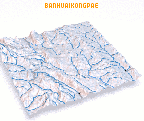 Places with similar names to Ban Huai Kong Pae, Thailand ::
// Ban Huai Kong Po (TH)
Disclaimer :: Information on this page comes without warranty of any kind |
||
|
Where is Ban Huai Kong Pae? Elevation and coordinates ::
Latitude (lat): 18°13'26"N Longitude (lon): 97°41'21"E
Elevation (approx.): 488m (map arrows pan, magnifying glasses zoom) |
||
|
Visiting Ban Huai Kong Pae? Hotel/Accommodation ::
Book a hotel in Ban Huai Kong Pae Travel Guide ::
Buy a travel guide for Thailand rental cars ::
car rental offers GPS waypoint ::
download a GPX waypoint (PoI) of Ban Huai Kong Pae for your GPS receiver
|
||