|
search place name
|
||
Ban Huai Tham (Thailand)Ban Huai Tham is a town in Thailand. An overview map of the region around Ban Huai Tham is displayed below.
regional and 3d topo map of Ban Huai Tham, Thailand ::

Ban Huai Tham airports ::
The nearest airport is LPT - Lampang, located 190.1 km north east of Ban Huai Tham.
Other airports nearby include RGN - Yangon Intl (207.9 km west), Nearby towns ::
Ban Kariang Ta Chua To (0.0km north) //
Kwilwe (6.6km south west) //
Metke (6.5km north east) //
Hpakekwi (8.2km south west) //
Takreni (9.0km south west) //
[all distances 'as the bird flies' and approximate] 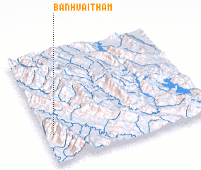 Places with similar names to Ban Huai Tham, Thailand ::
// Ban Huai Tham (TH)
// Ban Huai Tham (TH)
// Ban Huai Tham (TH)
// Ban Huai Tham (TH)
// Ban Huai Tham (TH)
// Ban Hat-Hom (LA)
// Ban Houaytham (LA)
// Ban Houaytham (LA)
// Ban Houaythiam (LA)
// Ban Houaythom (LA)
Disclaimer :: Information on this page comes without warranty of any kind |
||
|
Where is Ban Huai Tham? Elevation and coordinates ::
Latitude (lat): 17°16'0"N Longitude (lon): 98°3'0"E
Elevation (approx.): 1178m (map arrows pan, magnifying glasses zoom) |
||
|
Visiting Ban Huai Tham? Hotel/Accommodation ::
Book a hotel in Ban Huai Tham Travel Guide ::
Buy a travel guide for Thailand rental cars ::
car rental offers GPS waypoint ::
download a GPX waypoint (PoI) of Ban Huai Tham for your GPS receiver
|
||