|
search place name
|
||
Błażków (Poland)Błażków is a town in Poland. An overview map of the region around Błażków is displayed below.
regional and 3d topo map of Błażków, Poland ::

Błażków airports ::
The nearest airport is WAW - Warsaw Okecie, located 78.6 km north west of Błażków.
Other airports nearby include RZE - Rzeszow Jasionka (197.3 km south), Nearby towns ::
Kolonia Grudź (1.1km east) //
Nowiny (1.1km west) //
Wiśniówka (1.9km north) //
Grudź (2.3km east) //
Lisikierz (2.3km west) //
Byziec (2.3km west) //
Kamień (3.9km south) //
Guzówka (3.9km north) //
Kolonia Ciechomin (2.9km north west) //
Kamionka (3.9km north) //
Mysłów (4.4km south west) //
Januszówka (4.4km north west) //
Ciechomin (3.4km west) //
Germanicha (5.7km south) //
Wandów (3.9km south east) //
Kobiałki Stare (5.7km north) //
Kisielsk (6.0km north) //
Turzec (5.1km north east) //
Podosie (7.5km south) //
Nowy Świat (7.5km south) //
Wnętrzne (4.9km east) //
Kobiałki Nowe (7.5km north) //
Dwornia (6.5km south west) //
Teodorów (6.5km south east) //
Kasyldów (6.5km south east) //
Nowiny Pokarczmiska (7.8km south) //
Huta Dąbrowa (7.8km south) //
Wola Mysłowska (5.9km south west) //
Jamielnik (7.8km north) //
[all distances 'as the bird flies' and approximate] 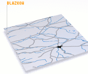 Places with similar names to Błażków, Poland ::
Disclaimer :: Information on this page comes without warranty of any kind |
||
|
Where is Błażków? Elevation and coordinates ::
Latitude (lat): 51°53'0"N Longitude (lon): 22°1'0"E
Elevation (approx.): 176m (map arrows pan, magnifying glasses zoom) |
||
|
Visiting Błażków? Hotel/Accommodation ::
Book a hotel in Błażków Travel Guide ::
Buy a travel guide for Poland rental cars ::
car rental offers GPS waypoint ::
download a GPX waypoint (PoI) of Błażków for your GPS receiver
|
||