|
search place name
|
||
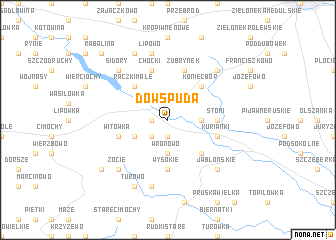
Dowspuda (Poland)Dowspuda is a town in Poland. An overview map of the region around Dowspuda is displayed below.
regional and 3d topo map of Dowspuda, Poland ::
Dowspuda airports ::
The nearest airport is WAW - Warsaw Okecie, located 236.6 km south west of Dowspuda.
Nearby towns ::
Szkocja (1.9km south) //
Raczki (1.1km west) //
Planta (2.2km south west) //
Wronowo (3.7km south) //
Rudniki (2.2km east) //
Jankielówka (2.9km south west) //
Sucha Wieś (4.3km south east) //
Koniecbór (4.3km north east) //
Raczki Małe (4.3km north west) //
Wysokie (5.6km south) //
Stoki (3.3km east) //
Chodorki (3.3km east) //
Moczydły (3.8km south west) //
Witówka (3.8km south west) //
Jaśki (3.8km south east) //
Kurianki (3.8km south east) //
Żubrynek (5.7km north) //
Krukówek (5.7km north) //
Choćki (5.7km north) //
Pruska Mała (7.5km south) //
Chomontowo (7.5km south) //
Lipowo (7.5km north) //
Jabłońskie (6.5km south east) //
Zocie (6.5km south west) //
Sidory (6.4km north west) //
Bakaniuk (6.4km north east) //
Turowo (7.7km south) //
Podwysokie (7.7km north) //
Zanie (7.1km south west) //
[all distances 'as the bird flies' and approximate] 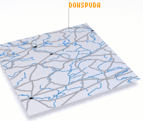 Places with similar names to Dowspuda, Poland ::
Disclaimer :: Information on this page comes without warranty of any kind |
||
|
Where is Dowspuda? Elevation and coordinates ::
Latitude (lat): 53°59'0"N Longitude (lon): 22°48'0"E
Elevation (approx.): 154m (map arrows pan, magnifying glasses zoom) |
||
|
Visiting Dowspuda? Hotel/Accommodation ::
Book a hotel in Dowspuda Travel Guide ::
Buy a travel guide for Poland rental cars ::
car rental offers GPS waypoint ::
download a GPX waypoint (PoI) of Dowspuda for your GPS receiver
|
||