|
search place name
|
||
Drozdów (Poland)Drozdów is a town in Poland. An overview map of the region around Drozdów is displayed below.
regional and 3d topo map of Drozdów, Poland ::

Drozdów airports ::
The nearest airport is RZE - Rzeszow Jasionka, located 35.8 km south east of Drozdów.
Other airports nearby include TAT - Poprad Tatry (185.4 km south west), KSC - Kosice (197.4 km south), WAW - Warsaw Okecie (204.9 km north), Nearby towns ::
Jasionka (1.9km south) //
Przezgacz (2.2km north east) //
Brzostowa Góra (2.2km south west) //
Wola Rusinowska (4.4km south east) //
Nowa Dęba (4.4km north west) //
Krzątka (3.5km east) //
Poręby Majdańskie (3.5km west) //
Klatki (4.0km south east) //
Majdan Królewski (4.0km south west) //
Poręby Dębskie (4.0km north west) //
Rusinów (5.1km south east) //
Pietropole (4.7km east) //
Konefały (5.1km east) //
Tarnowska Wola (6.6km north west) //
Koziołek (6.0km south east) //
Komorów (7.3km south west) //
Wysokoniwka (8.2km south east) //
Tęcze (8.2km south east) //
Alfredówka (8.2km north west) //
[all distances 'as the bird flies' and approximate] 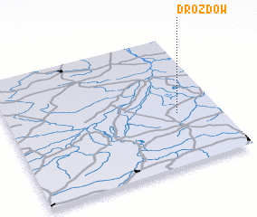 Places with similar names to Drozdów, Poland ::
Disclaimer :: Information on this page comes without warranty of any kind |
||
|
Where is Drozdów? Elevation and coordinates ::
Latitude (lat): 50°24'0"N Longitude (lon): 21°48'0"E
Elevation (approx.): 210m (map arrows pan, magnifying glasses zoom) |
||
|
Visiting Drozdów? Hotel/Accommodation ::
Book a hotel in Drozdów Travel Guide ::
Buy a travel guide for Poland rental cars ::
car rental offers GPS waypoint ::
download a GPX waypoint (PoI) of Drozdów for your GPS receiver
|
||