|
search place name
|
||
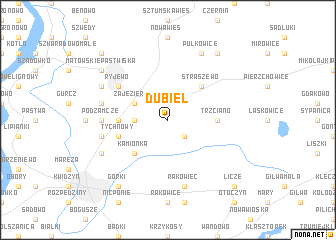
Dubiel (Poland)Dubiel is a town in Poland. An overview map of the region around Dubiel is displayed below.
regional and 3d topo map of Dubiel, Poland ::
Dubiel airports ::
The nearest airport is GDN - Gdansk Lecha Walesy, located 73.7 km north west of Dubiel.
Other airports nearby include OSP - Slupsk Redzikowo (145.9 km north west), KGD - Kaliningrad Khrabrovo (158.8 km north east), WAW - Warsaw Okecie (224.1 km south east), Nearby towns ::
Leśniki (2.2km south east) //
Brachlewo (2.2km west) //
Zajezierze (2.9km north west) //
Straszewo (4.3km north east) //
Kamionka (4.3km south west) //
Jerzewskie Pole (3.3km west) //
Trzciano (3.3km east) //
Tychnowy (3.8km south west) //
Ryjewo (5.0km north west) //
Podzamcze (4.4km west) //
Rakowiec (7.5km south) //
Nowa Wieś Kwidzyńska (4.8km south west) //
Jałowiec (4.8km north west) //
Baldram (5.7km south west) //
Budzin (5.7km north west) //
Pułkowice (7.7km north) //
Górki (8.1km south west) //
Mątowskie Pastwiska (7.1km north west) //
Postolin (8.1km north east) //
Licze (8.6km south east) //
Przydatki (8.6km north west) //
[all distances 'as the bird flies' and approximate] 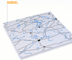 Places with similar names to Dubiel, Poland ::
Disclaimer :: Information on this page comes without warranty of any kind |
||
|
Where is Dubiel? Elevation and coordinates ::
Latitude (lat): 53°48'0"N Longitude (lon): 19°1'0"E
Elevation (approx.): 80m (map arrows pan, magnifying glasses zoom) |
||
|
Visiting Dubiel? Hotel/Accommodation ::
Book a hotel in Dubiel Travel Guide ::
Buy a travel guide for Poland rental cars ::
car rental offers GPS waypoint ::
download a GPX waypoint (PoI) of Dubiel for your GPS receiver
|
||