|
search place name
|
||
Gocławek (Poland)Gocławek is a town in Poland. An overview map of the region around Gocławek is displayed below.
regional and 3d topo map of Gocławek, Poland ::

Gocławek airports ::
The nearest airport is WAW - Warsaw Okecie, located 13.6 km south west of Gocławek.
Nearby towns ::
Wawer (1.1km east) //
Marysin (1.1km east) //
Las (2.2km south west) //
Zastów (2.2km south east) //
Zbytki (3.7km south) //
Anin (2.3km east) //
Kawęczyn (3.7km north) //
Grochów (2.9km north west) //
Rembertów (2.9km north east) //
Rembertów Nowy (2.9km north east) //
Rembertów Stary (4.3km north east) //
Karolówka (4.3km north east) //
Zerzeń (5.6km south) //
Gocław (3.4km west) //
Zielona (3.4km east) //
Siekierki (3.9km south west) //
Ząbki (5.7km north) //
Wólka Zerzeńska (5.7km south) //
Augustówka (6.0km south) //
Międzylesie (5.0km south east) //
Praga (5.0km north west) //
Miedzeszyn (7.5km south) //
Saska Kępa (4.9km west) //
Podkaczy Dól (4.9km east) //
Rembertów Grzybowa (4.9km east) //
Zagóżdż (6.5km south east) //
Miedzeszyn Letnisko (6.5km south east) //
Zawady (7.8km south) //
Wilanów (7.8km south) //
[all distances 'as the bird flies' and approximate] 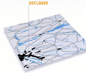 Places with similar names to Gocławek, Poland ::
// Köckelwick (DE)
Disclaimer :: Information on this page comes without warranty of any kind |
||
|
Where is Gocławek? Elevation and coordinates ::
Latitude (lat): 52°14'0"N Longitude (lon): 21°8'0"E
Elevation (approx.): 84m (map arrows pan, magnifying glasses zoom) |
||
|
Visiting Gocławek? Hotel/Accommodation ::
Book a hotel in Gocławek Travel Guide ::
Buy a travel guide for Poland rental cars ::
car rental offers GPS waypoint ::
download a GPX waypoint (PoI) of Gocławek for your GPS receiver
|
||