|
search place name
|
||
Jelitów (Poland)Jelitów is a town in Poland. An overview map of the region around Jelitów is displayed below.
regional and 3d topo map of Jelitów, Poland ::

Jelitów airports ::
The nearest airport is WAW - Warsaw Okecie, located 57.5 km north east of Jelitów.
Other airports nearby include KTW - Katowice Pyrzowice (173.8 km south west), KRK - Krakow Balice (197.5 km south), RZE - Rzeszow Jasionka (223.1 km south east), Nearby towns ::
Babsk (1.9km north) //
Teodozjów (1.1km east) //
Wólka Babska (2.2km north east) //
Przewodowice (2.2km north west) //
Lesiew (2.2km south east) //
Zagórze (2.2km south west) //
Julianów Raducki (2.9km north west) //
Kolonia Lesiew (2.9km south east) //
Kaleń (3.9km south) //
Tadzinek (5.6km south) //
Ossa (3.4km east) //
Podskarbice Szlacheckie (5.6km south) //
Helenów (3.4km west) //
Kazimierzów (6.0km south) //
Studzianki (5.1km north east) //
Raducz (6.0km north) //
Konopnica (5.1km south west) //
Lisna (7.4km north) //
Kurzeszynek (4.9km west) //
Kurzeszyn (4.9km west) //
Podskarbice Królewskie (7.5km south) //
Komorów (7.5km south) //
Kolonia Regnów (6.5km south east) //
Pukinin (6.5km south west) //
Chrzczonowice (6.5km north east) //
Paplinek (7.8km north) //
Psary (7.8km north) //
Regnów (7.8km south) //
Wołucza (5.9km north west) //
[all distances 'as the bird flies' and approximate] 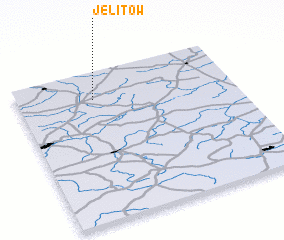 Places with similar names to Jelitów, Poland ::
Disclaimer :: Information on this page comes without warranty of any kind |
||
|
Where is Jelitów? Elevation and coordinates ::
Latitude (lat): 51°49'0"N Longitude (lon): 20°21'0"E
Elevation (approx.): 153m (map arrows pan, magnifying glasses zoom) |
||
|
Visiting Jelitów? Hotel/Accommodation ::
Book a hotel in Jelitów Travel Guide ::
Buy a travel guide for Poland rental cars ::
car rental offers GPS waypoint ::
download a GPX waypoint (PoI) of Jelitów for your GPS receiver
|
||