|
search place name
|
||
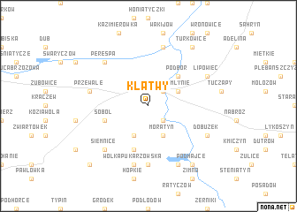
Klątwy (Poland)Klątwy is a town in Poland. An overview map of the region around Klątwy is displayed below.
regional and 3d topo map of Klątwy, Poland ::
Klątwy airports ::
The nearest airport is LWO - Lvov Lviv Intl, located 89.7 km south of Klątwy.
Other airports nearby include RZE - Rzeszow Jasionka (130.4 km south west), Nearby towns ::
Tyszowce (2.2km north east) //
Mikulin (2.2km south east) //
Czartowiec (3.9km south) //
Moratyn (3.9km south) //
Zamłynie (3.0km north east) //
Podbór (4.4km north east) //
Pukarzów (5.7km south) //
Soból (4.0km south west) //
Małoniż (7.4km south) //
Przewale (5.1km west) //
Wólka Pukarzowska (7.5km south) //
Czermno (7.5km north) //
Perespa (6.6km north west) //
Marysin (6.6km north west) //
Siemnice (6.6km south west) //
Lipowiec (6.0km north east) //
Dobużek (6.0km south east) //
Czerkasy (7.8km south) //
Domaniż (8.2km south east) //
Podhajce (8.2km south east) //
Turkowice (8.2km north east) //
Łaszczów (8.2km south east) //
Grodysławice (8.8km south west) //
[all distances 'as the bird flies' and approximate] 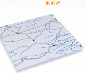 Places with similar names to Klątwy, Poland ::
Disclaimer :: Information on this page comes without warranty of any kind |
||
|
Where is Klątwy? Elevation and coordinates ::
Latitude (lat): 50°36'0"N Longitude (lon): 23°41'0"E
Elevation (approx.): 212m (map arrows pan, magnifying glasses zoom) |
||
|
Visiting Klątwy? Hotel/Accommodation ::
Book a hotel in Klątwy Travel Guide ::
Buy a travel guide for Poland rental cars ::
car rental offers GPS waypoint ::
download a GPX waypoint (PoI) of Klątwy for your GPS receiver
|
||