|
search place name
|
||
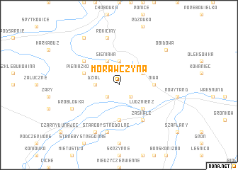
Morawczyna (Poland)Morawczyna is a town in Poland. An overview map of the region around Morawczyna is displayed below.
regional and 3d topo map of Morawczyna, Poland ::
Morawczyna airports ::
The nearest airport is TAT - Poprad Tatry, located 51.9 km south east of Morawczyna.
Other airports nearby include KRK - Krakow Balice (65.3 km north), SLD - Sliac (112.9 km south west), KTW - Katowice Pyrzowice (125.0 km north west), KSC - Kosice (132.5 km south east), Nearby towns ::
Długopole (2.2km south west) //
Krauszów (2.2km south east) //
Dział (2.4km west) //
Pyzówka (3.7km north) //
Sieniawa (3.9km north) //
Klikuszowa (3.0km north east) //
Lasek (3.0km north east) //
Ludźmierz (4.4km south east) //
Rogożnik (5.6km south) //
Niwa (3.6km east) //
Pieniążkowice (4.1km north west) //
Zaskale (6.1km south east) //
Bielanka (5.2km north west) //
Stare Bystre Dolne (7.5km south) //
Rokiciny (7.5km north) //
Stare Bystre (7.8km south) //
Wróblówka (6.1km south west) //
Obidowa (7.4km north east) //
Raba Wyżna (8.2km north west) //
[all distances 'as the bird flies' and approximate]  Places with similar names to Morawczyna, Poland ::
Disclaimer :: Information on this page comes without warranty of any kind |
||
|
Where is Morawczyna? Elevation and coordinates ::
Latitude (lat): 49°30'0"N Longitude (lon): 19°57'0"E
Elevation (approx.): 630m (map arrows pan, magnifying glasses zoom) |
||
|
Visiting Morawczyna? Hotel/Accommodation ::
Book a hotel in Morawczyna Travel Guide ::
Buy a travel guide for Poland rental cars ::
car rental offers GPS waypoint ::
download a GPX waypoint (PoI) of Morawczyna for your GPS receiver
|
||