|
search place name
|
||
Oleszkowo (Poland)Oleszkowo is a town in Poland. An overview map of the region around Oleszkowo is displayed below.
regional and 3d topo map of Oleszkowo, Poland ::

Nearby towns ::
Niemczyn (1.9km north) //
Kosmaty Borek (2.2km south east) //
Zamczysk (2.2km north west) //
Łapczyn (2.2km north west) //
Karczmisko (3.7km south) //
Zdroje (3.7km north) //
Czarna Wieś (4.3km south east) //
Bąbla (4.3km north west) //
Łosiniec (5.6km north) //
Brzozówka Koronna (3.3km west) //
Brzozówka Ziemiańska (3.3km west) //
Brzozówka (3.3km west) //
Łomy (5.7km north) //
Brzozówka Strzelecka (3.8km north west) //
Rybnik (6.0km south) //
Brody (5.0km north west) //
Wojtachy (4.8km north west) //
Ostra Góra (7.5km north) //
Sitkowo (7.5km north) //
Wólka Ratowiecka (6.5km south east) //
Klimki (5.8km south east) //
Złota Wieś (7.1km south east) //
Łubianka (8.1km north east) //
Popiołówka (8.6km north west) //
[all distances 'as the bird flies' and approximate] 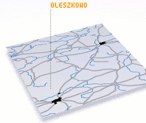 Places with similar names to Oleszkowo, Poland :: Disclaimer :: Information on this page comes without warranty of any kind |
||
|
Where is Oleszkowo? Elevation and coordinates ::
Latitude (lat): 53°20'0"N Longitude (lon): 23°11'0"E
Elevation (approx.): 163m (map arrows pan, magnifying glasses zoom) |
||
|
Visiting Oleszkowo? Hotel/Accommodation ::
Book a hotel in Oleszkowo Travel Guide ::
Buy a travel guide for Poland rental cars ::
car rental offers GPS waypoint ::
download a GPX waypoint (PoI) of Oleszkowo for your GPS receiver
|
||