|
search place name
|
||
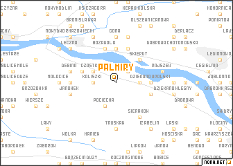
Palmiry (Poland)Palmiry is a town in Poland. An overview map of the region around Palmiry is displayed below.
regional and 3d topo map of Palmiry, Poland ::
Palmiry airports ::
The nearest airport is WAW - Warsaw Okecie, located 25.6 km south east of Palmiry.
Other airports nearby include KTW - Katowice Pyrzowice (241.6 km south west), Nearby towns ::
Łomna (2.2km north east) //
Kaliszki (2.3km west) //
Pieńków (2.3km east) //
Cząstków (2.9km north west) //
Pociecha (3.9km south) //
Skierdy (4.3km north east) //
Suchocin (5.6km north) //
Trzciany (5.6km north) //
Dziekanów Polski (3.4km east) //
Czosnów (3.9km north west) //
Boża Wola (5.7km north) //
Janówek Drugi (5.7km north) //
Sadowa (3.9km south east) //
Sieraków (6.0km south) //
Łosia Wólka (4.5km west) //
Góra (7.4km north) //
Truskaw (7.4km south) //
Dębina (4.9km west) //
Janówek (4.9km west) //
Janówek Pierwszy (7.5km north) //
Janówek (7.5km north) //
Rajszew (4.9km east) //
Okunin (7.8km north) //
Łęczna (7.2km north west) //
Izabelin (8.2km south east) //
Nowy Dwór Mazowiecki (8.7km north west) //
[all distances 'as the bird flies' and approximate] 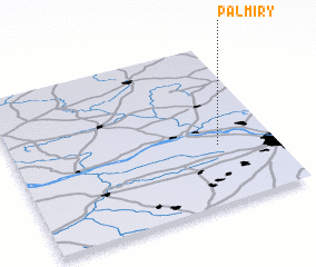 Places with similar names to Palmiry, Poland ::
Disclaimer :: Information on this page comes without warranty of any kind |
||
|
Where is Palmiry? Elevation and coordinates ::
Latitude (lat): 52°22'0"N Longitude (lon): 20°47'0"E
Elevation (approx.): 75m (map arrows pan, magnifying glasses zoom) |
||
|
Visiting Palmiry? Hotel/Accommodation ::
Book a hotel in Palmiry Travel Guide ::
Buy a travel guide for Poland rental cars ::
car rental offers GPS waypoint ::
download a GPX waypoint (PoI) of Palmiry for your GPS receiver
|
||