|
search place name
|
||
Pogorzel (Poland)Pogorzel is a town in Poland. An overview map of the region around Pogorzel is displayed below.
regional and 3d topo map of Pogorzel, Poland ::

Pogorzel airports ::
The nearest airport is WAW - Warsaw Okecie, located 42.5 km west of Pogorzel.
Nearby towns ::
Mikanów (1.9km north) //
Chmielew (2.2km north east) //
Dąbrowa (2.2km south west) //
Marianka (3.7km north) //
Grzebowilk (2.3km west) //
Zalesie (3.7km south) //
Julianów (2.9km north east) //
Siennica (2.9km south east) //
Gliniak (4.3km north west) //
Utrata (4.4km south west) //
Iłowiec (3.4km west) //
Krzywica (3.4km east) //
Lasomin (5.6km south) //
Targówka (5.7km north) //
Chełst (3.9km south west) //
Bestwiny (5.7km south) //
Podgórzno (6.0km south) //
Stara Wieś (5.0km south east) //
Mińsk Mazowiecki (7.5km north) //
Teresin (4.9km west) //
Głupianka (7.5km south) //
Łękawica (4.9km east) //
Dłużew (7.5km south) //
Budy Barczackie (6.5km north east) //
Barcząca (6.5km north east) //
Kąty (6.5km south east) //
Osiny (7.8km north) //
Wólka Dłużewska (7.8km south) //
Stojadła (8.2km north west) //
[all distances 'as the bird flies' and approximate] 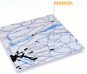 Places with similar names to Pogorzel, Poland ::
Disclaimer :: Information on this page comes without warranty of any kind |
||
|
Where is Pogorzel? Elevation and coordinates ::
Latitude (lat): 52°7'0"N Longitude (lon): 21°35'0"E
Elevation (approx.): 145m (map arrows pan, magnifying glasses zoom) |
||
|
Visiting Pogorzel? Hotel/Accommodation ::
Book a hotel in Pogorzel Travel Guide ::
Buy a travel guide for Poland rental cars ::
car rental offers GPS waypoint ::
download a GPX waypoint (PoI) of Pogorzel for your GPS receiver
|
||