|
search place name
|
||
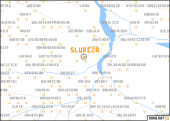
Słupcza (Poland)Słupcza is a town in Poland. An overview map of the region around Słupcza is displayed below.
regional and 3d topo map of Słupcza, Poland ::
Słupcza airports ::
The nearest airport is RZE - Rzeszow Jasionka, located 74.5 km south of Słupcza.
Other airports nearby include WAW - Warsaw Okecie (166.5 km north), TAT - Poprad Tatry (219.7 km south west), Nearby towns ::
Winiarki (0.0km north) //
Czernin (1.2km west) //
Winiary (2.2km north east) //
Bożydar (3.7km south) //
Zawichost (4.4km north east) //
Pasternik (4.4km south east) //
Dwikozy (4.4km south west) //
Grudza (3.5km east) //
Garbów (3.5km west) //
Mściów (5.6km south) //
Trójca (5.7km north) //
Popowice (4.0km north east) //
Dąbie (5.7km north) //
Czyżów Plebański (5.7km north) //
Dziurów (5.7km north) //
Wygoda (5.1km north west) //
Wrzawy (6.0km south east) //
Dąbrówka Pniowska (5.1km south east) //
Góry Wysokie (4.7km west) //
Piotrowice (7.5km north) //
Orzechów (5.0km east) //
Witkowice (5.0km east) //
Romanówka Nowa (5.0km west) //
Pączek (7.5km south) //
Pawłów (5.0km west) //
Kamień Nowy (7.5km south) //
Czekaj Pniowski (6.6km south east) //
Rzeczyca (6.6km south west) //
Mokoszyn (6.6km south west) //
[all distances 'as the bird flies' and approximate] 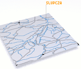 Places with similar names to Słupcza, Poland ::
// Ślipcze (PL)
Disclaimer :: Information on this page comes without warranty of any kind |
||
|
Where is Słupcza? Elevation and coordinates ::
Latitude (lat): 50°46'0"N Longitude (lon): 21°49'0"E
Elevation (approx.): 137m (map arrows pan, magnifying glasses zoom) |
||
|
Visiting Słupcza? Hotel/Accommodation ::
Book a hotel in Słupcza Travel Guide ::
Buy a travel guide for Poland rental cars ::
car rental offers GPS waypoint ::
download a GPX waypoint (PoI) of Słupcza for your GPS receiver
|
||