|
search place name
|
||
Starogród (Poland)Starogród is a town in Poland. An overview map of the region around Starogród is displayed below.
regional and 3d topo map of Starogród, Poland ::

Starogród airports ::
The nearest airport is GDN - Gdansk Lecha Walesy, located 118.2 km north of Starogród.
Other airports nearby include POZ - Poznan Lawica (144.7 km south west), OSP - Slupsk Redzikowo (154.2 km north west), Nearby towns ::
Kiełp (2.2km south east) //
Bieńkówka (2.2km west) //
Borówno (2.9km south west) //
Rożnowo (3.9km south) //
Kałdus (2.9km north east) //
Kosowizna (4.3km south east) //
Bruki (5.6km south) //
Brzozowo (3.3km east) //
Niedźwiedź (5.6km north) //
Chrystkowo (3.8km north west) //
Kosowo (5.7km north) //
Dorposz Szlachecki (3.8km south east) //
Chełmno (5.0km north east) //
Kijewo Szlacheckie (5.0km south east) //
Luszkowo (4.8km north west) //
Topolinek (4.8km north west) //
Głogówko Królewskie (7.5km north) //
Osnowo (4.8km north east) //
Dworzysko (7.7km north) //
Gruczno (5.8km north west) //
Błoto (7.7km south) //
Kijewo Królewskie (5.8km south east) //
Dębowiec (8.6km south west) //
Kokocko (8.6km south west) //
[all distances 'as the bird flies' and approximate] 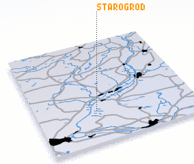 Places with similar names to Starogród, Poland ::
// Staryye Kardy (RU)
// Staryy Gorod (RU)
// Staryy Gorod (RU)
// Staryy Gorod (RU)
// Sterkrade (DE)
// Storgard (NO)
// Starogród (PL)
// Stari Grad (BA)
// Stari Grad (MK)
// Staryy Gorod (KZ)
Disclaimer :: Information on this page comes without warranty of any kind |
||
|
Where is Starogród? Elevation and coordinates ::
Latitude (lat): 53°19'0"N Longitude (lon): 18°23'0"E
Elevation (approx.): 66m (map arrows pan, magnifying glasses zoom) |
||
|
Visiting Starogród? Hotel/Accommodation ::
Book a hotel in Starogród Travel Guide ::
Buy a travel guide for Poland rental cars ::
car rental offers GPS waypoint ::
download a GPX waypoint (PoI) of Starogród for your GPS receiver
|
||