|
search place name
|
||
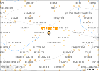
Stępocin (Poland)Stępocin is a town in Poland. An overview map of the region around Stępocin is displayed below.
regional and 3d topo map of Stępocin, Poland ::
Stępocin airports ::
The nearest airport is POZ - Poznan Lawica, located 41.4 km west of Stępocin.
Other airports nearby include IEG - Zielona Gora Babimost (112.6 km west), WRO - Wroclaw Strachowice (141.8 km south), KTW - Katowice Pyrzowice (237.0 km south east), Nearby towns ::
Kokoszki (1.9km north) //
Gierłatowo (2.2km north east) //
Dzierznica (2.3km west) //
Nekla (3.7km north) //
Targowagórka (3.9km south) //
Starczanowo (4.3km north west) //
Biskupice (3.4km west) //
Giecz (3.9km south west) //
Mała Górka (3.9km south east) //
Zasutowo (3.9km north east) //
Barczyzna (6.0km north) //
Racławki (5.0km south east) //
Orzeszkowo (6.0km south) //
Opatówko (4.5km east) //
Podstolice (4.9km east) //
Rusiborek (7.8km south) //
Nekielka (7.8km north) //
Dominowo (7.2km south west) //
Brzeźno (7.2km north west) //
Bukowy Las (8.7km south east) //
Siedleczek (8.7km north west) //
[all distances 'as the bird flies' and approximate] 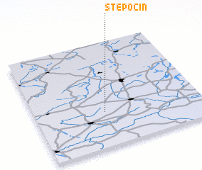 Places with similar names to Stępocin, Poland ::
// Stupčine (BA)
Disclaimer :: Information on this page comes without warranty of any kind |
||
|
Where is Stępocin? Elevation and coordinates ::
Latitude (lat): 52°20'0"N Longitude (lon): 17°25'0"E
Elevation (approx.): 107m (map arrows pan, magnifying glasses zoom) |
||
|
Visiting Stępocin? Hotel/Accommodation ::
Book a hotel in Stępocin Travel Guide ::
Buy a travel guide for Poland rental cars ::
car rental offers GPS waypoint ::
download a GPX waypoint (PoI) of Stępocin for your GPS receiver
|
||