|
search place name
|
||
Tarnogród (Poland)Tarnogród is a town in Poland. An overview map of the region around Tarnogród is displayed below.
regional and 3d topo map of Tarnogród, Poland ::

Tarnogród airports ::
The nearest airport is RZE - Rzeszow Jasionka, located 59.5 km south west of Tarnogród.
Other airports nearby include LWO - Lvov Lviv Intl (106.1 km south east), KSC - Kosice (218.7 km south west), WAW - Warsaw Okecie (235.7 km north west), Nearby towns ::
Płusy (1.9km north) //
Korchów (3.0km north east) //
Marianka (3.9km north) //
Wola Różaniecka (3.9km south) //
Księżpol (5.6km north) //
Zawadka (5.1km north east) //
Luchów Górny (5.1km south west) //
Pawlichy (7.4km north) //
Bukowina (4.7km west) //
Markowice (7.5km north) //
Króle Stare (7.5km north) //
Bukowiec Wielki (7.5km south) //
Przymiarki (6.6km north east) //
Rakówka (6.6km north east) //
Króle Nowe (7.8km north) //
Różaniec (6.0km south east) //
Borki (7.3km north west) //
[all distances 'as the bird flies' and approximate] 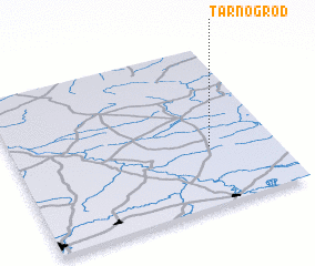 Places with similar names to Tarnogród, Poland ::
// Turyngurt (RU)
// Tárnokréti (HU)
// Tranquerito (VE)
// Driencourt (FR)
// Douar en Nkarat (MA)
// Dürnkrut (AT)
// Torngård (SE)
// Trangärde (SE)
// Drancourt (FR)
// Dronkaard (BE)
Disclaimer :: Information on this page comes without warranty of any kind |
||
|
Where is Tarnogród? Elevation and coordinates ::
Latitude (lat): 50°22'0"N Longitude (lon): 22°45'0"E
Elevation (approx.): 225m (map arrows pan, magnifying glasses zoom) |
||
|
Visiting Tarnogród? Hotel/Accommodation ::
Book a hotel in Tarnogród Travel Guide ::
Buy a travel guide for Poland rental cars ::
car rental offers GPS waypoint ::
download a GPX waypoint (PoI) of Tarnogród for your GPS receiver
|
||