|
search place name
|
||
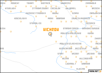
Wichrów (Poland)Wichrów is a town in Poland. An overview map of the region around Wichrów is displayed below.
regional and 3d topo map of Wichrów, Poland ::
Wichrów airports ::
The nearest airport is KTW - Katowice Pyrzowice, located 61.3 km south east of Wichrów.
Other airports nearby include WRO - Wroclaw Strachowice (121.7 km west), KRK - Krakow Balice (127.0 km south east), OSR - Ostrava Mosnov (141.9 km south), PRV - Prerov (188.2 km south west), Nearby towns ::
Bodzanowice (2.2km south east) //
Jawor (2.3km east) //
Panki (5.6km north) //
Bobrowa (6.0km north east) //
Sternalice (5.1km north west) //
Podłęże Królewskie (4.7km east) //
Bugaj (7.5km north) //
Starokrzepice (5.0km east) //
Hajdamaki (7.5km north) //
Cieciułów Bugaj (6.6km north east) //
Kuźnica Nowa (6.6km south east) //
Stany (7.8km south) //
Michalinów (6.0km south east) //
Podłęże Szlacheckie (6.0km south east) //
Górki (8.2km south east) //
Stanki (7.3km north east) //
Kuźnica Żytniowska (8.2km north west) //
Jelonki (8.2km north west) //
Antoniów (7.3km south east) //
[all distances 'as the bird flies' and approximate]  Places with similar names to Wichrów, Poland ::
Disclaimer :: Information on this page comes without warranty of any kind |
||
|
Where is Wichrów? Elevation and coordinates ::
Latitude (lat): 50°56'0"N Longitude (lon): 18°36'0"E
Elevation (approx.): 243m (map arrows pan, magnifying glasses zoom) |
||
|
Visiting Wichrów? Hotel/Accommodation ::
Book a hotel in Wichrów Travel Guide ::
Buy a travel guide for Poland rental cars ::
car rental offers GPS waypoint ::
download a GPX waypoint (PoI) of Wichrów for your GPS receiver
|
||