|
search place name
|
||
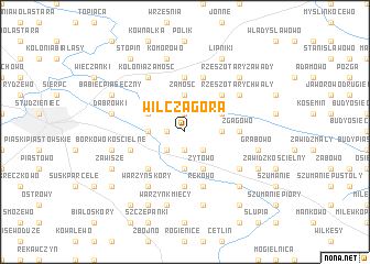
Wilcza Góra (Poland)Wilcza Góra is a town in Poland. An overview map of the region around Wilcza Góra is displayed below.
regional and 3d topo map of Wilcza Góra, Poland ::
Wilcza Góra airports ::
The nearest airport is WAW - Warsaw Okecie, located 110.7 km south east of Wilcza Góra.
Other airports nearby include GDN - Gdansk Lecha Walesy (191.1 km north west), Nearby towns ::
Mieszak (1.1km west) //
Kuski (1.9km north) //
Wola Grabiecka (1.9km south) //
Kisielewo (2.2km south west) //
Zalesie (2.2km south east) //
Zamość (3.7km north) //
Borkowo Wielkie (2.2km west) //
Grabiec (3.7km south) //
Kolonia Skoczkowo (2.2km east) //
Śniedzanowo (2.9km north west) //
Żytowo (3.9km south) //
Rzeszotary Gortaty (2.9km north east) //
Dziembakowo (4.3km south west) //
Rzeszotary Pszczele (4.3km north east) //
Rzeszotary Stara Wieś (4.3km north east) //
Rościszewo (5.6km north) //
Zgagowo (3.4km east) //
Skoczkowo (3.4km east) //
Krajewice Małe (5.6km south) //
Kęsice (5.6km south) //
Białe Błoto (3.8km south west) //
Kolonia Rościszewo (5.7km north) //
Rekowo (5.7km south) //
Kolonia Zamość (6.0km north) //
Rzeszotary Chwały (5.0km north east) //
Jeżewo (5.0km south east) //
Młotkowo (5.0km south east) //
Warzyn Skóry (6.0km south) //
Dąbrówki (4.8km north west) //
[all distances 'as the bird flies' and approximate]  Places with similar names to Wilcza Góra, Poland ::
// Wilcza Góra (PL)
// Wilcza Góra (PL)
Disclaimer :: Information on this page comes without warranty of any kind |
||
|
Where is Wilcza Góra? Elevation and coordinates ::
Latitude (lat): 52°51'0"N Longitude (lon): 19°47'0"E
Elevation (approx.): 118m (map arrows pan, magnifying glasses zoom) |
||
|
Visiting Wilcza Góra? Hotel/Accommodation ::
Book a hotel in Wilcza Góra Travel Guide ::
Buy a travel guide for Poland rental cars ::
car rental offers GPS waypoint ::
download a GPX waypoint (PoI) of Wilcza Góra for your GPS receiver
|
||