|
search place name
|
||
Zalesie (Poland)Zalesie is a town in Poland. An overview map of the region around Zalesie is displayed below.
regional and 3d topo map of Zalesie, Poland ::

Zalesie airports ::
The nearest airport is RZE - Rzeszow Jasionka, located 62.3 km north west of Zalesie.
Other airports nearby include LWO - Lvov Lviv Intl (91.9 km east), KSC - Kosice (160.2 km south west), Nearby towns ::
Na Górach (1.2km west) //
Krasiczyn (2.2km north west) //
Śliwnica (2.2km north west) //
Rokszyce (2.2km south west) //
Olszany (2.4km west) //
Brylińce (3.9km south) //
Korytniki (4.4km north west) //
Koniusza (5.7km south) //
Krasice (4.0km north west) //
Kruhel Wielki (4.0km north east) //
Witoszyńce (4.0km south east) //
Kopysno (6.1km south west) //
Kormanice (5.2km south east) //
Prałkowce (5.2km north east) //
Kuńkowce (6.1km north east) //
Gruszów (7.4km south) //
Mielnów (5.1km west) //
Wapowce (7.5km north) //
Łętownia (7.5km north) //
Ostrów (6.6km north east) //
Kniażyce (6.1km south east) //
Fredropol (7.3km south east) //
Kłokowice (8.8km south east) //
[all distances 'as the bird flies' and approximate] 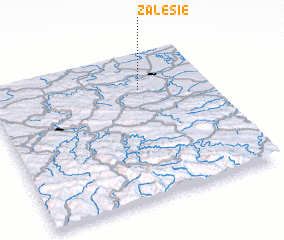 Places with similar names to Zalesie, Poland ::
Disclaimer :: Information on this page comes without warranty of any kind |
||
|
Where is Zalesie? Elevation and coordinates ::
Latitude (lat): 49°45'0"N Longitude (lon): 22°41'0"E
Elevation (approx.): 385m (map arrows pan, magnifying glasses zoom) |
||
|
Visiting Zalesie? Hotel/Accommodation ::
Book a hotel in Zalesie Travel Guide ::
Buy a travel guide for Poland rental cars ::
car rental offers GPS waypoint ::
download a GPX waypoint (PoI) of Zalesie for your GPS receiver
|
||