|
search place name
|
||
Szarvastanya (Borsod-Abaúj-Zemplén, Hungary)Szarvastanya is a town in the Borsod-Abaúj-Zemplén region of Hungary. An overview map of the region around Szarvastanya is displayed below.
regional and 3d topo map of Szarvastanya, Hungary ::

Szarvastanya airports ::
The nearest airport is KSC - Kosice, located 55.4 km north of Szarvastanya.
Other airports nearby include DEB - Debrecen (79.4 km south), SUJ - Satu Mare (116.2 km south east), OMR - Oradea (133.8 km south), TAT - Poprad Tatry (135.2 km north west), Nearby towns ::
Alsótanya (1.2km east) //
Kenézlő (1.2km east) //
Viss (1.9km north) //
Szabolcs (2.2km south west) //
Fürdőtanya (3.1km north east) //
Balsa (3.1km south east) //
Törökér (5.7km north) //
Vilmatanya (5.7km north) //
Törökértanya (5.7km north) //
Zalkod (4.1km south west) //
Timár (5.2km south west) //
Szabadságtelep (5.2km south east) //
Sárazsadány (7.5km north) //
Rózsástanya (7.4km north east) //
Vámosújfalu (8.3km north west) //
Rakamaz (8.3km south west) //
Serflektanya (8.3km south west) //
[all distances 'as the bird flies' and approximate] 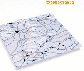 Places with similar names to Szarvastanya, Hungary :: Disclaimer :: Information on this page comes without warranty of any kind |
||
|
Where is Szarvastanya? Elevation and coordinates ::
Latitude (lat): 48°12'0"N Longitude (lon): 21°31'0"E
Elevation (approx.): 96m (map arrows pan, magnifying glasses zoom) |
||
|
Visiting Szarvastanya? Hotel/Accommodation ::
Book a hotel in Szarvastanya Travel Guide ::
Buy a travel guide for Hungary rental cars ::
car rental offers GPS waypoint ::
download a GPX waypoint (PoI) of Szarvastanya for your GPS receiver
|
||