|
search place name
|
||
Palentinis (Lithuania)Palentinis is a town in Lithuania. An overview map of the region around Palentinis is displayed below.
regional and 3d topo map of Palentinis, Lithuania ::

Palentinis airports ::
The nearest airport is KGD - Kaliningrad Khrabrovo, located 143.3 km south west of Palentinis.
Nearby towns ::
Gudaičiai (0.0km north) //
Severėnai (2.1km east) //
Pempės (3.9km south) //
Putviai (3.9km south) //
Beržė (2.8km north west) //
Gardiškė (2.8km south east) //
Ruška (2.8km north east) //
Kalnėnai (4.3km south west) //
Dirgėlai (4.3km south east) //
Skrandėnai (4.3km north west) //
Nevardėnai (5.6km north) //
Danylos (3.6km south east) //
Klaišiškiai (5.9km north) //
Radiškė (5.9km south) //
Kesai (5.9km north) //
Naumiestėlė (4.2km west) //
Gėdminiškė (7.5km south) //
Jonelaičiai (4.6km north west) //
Bartkiškė (6.4km south west) //
Milaičiai (6.4km south east) //
Gomaliai (6.4km north west) //
Kaltinėnai (7.8km south) //
Laumėnai (5.6km south west) //
Juodžiai (7.7km south) //
Vašįlėnai (5.6km north east) //
Vosgirdai (8.1km south west) //
Misaičiai (8.1km south west) //
Sodalė (7.0km south east) //
Pagirgždūtis (8.0km north east) //
[all distances 'as the bird flies' and approximate] 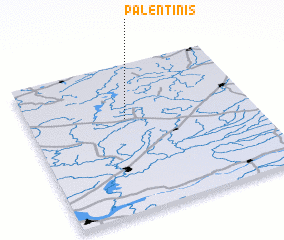 Places with similar names to Palentinis, Lithuania ::
// Polentinos (ES)
Disclaimer :: Information on this page comes without warranty of any kind |
||
|
Where is Palentinis? Elevation and coordinates ::
Latitude (lat): 55°38'0"N Longitude (lon): 22°26'0"E
Elevation (approx.): 175m (map arrows pan, magnifying glasses zoom) |
||
|
Visiting Palentinis? Hotel/Accommodation ::
Book a hotel in Palentinis Travel Guide ::
Buy a travel guide for Lithuania rental cars ::
car rental offers GPS waypoint ::
download a GPX waypoint (PoI) of Palentinis for your GPS receiver
|
||