|
search place name
|
||
Silgionys (Lithuania)Silgionys is a town in Lithuania. An overview map of the region around Silgionys is displayed below.
regional and 3d topo map of Silgionys, Lithuania ::

Nearby towns ::
Paliepiai (2.1km south west) //
Punia (2.1km north west) //
Raižiai (4.3km south east) //
Kružiūnai (4.3km south west) //
Pušenai (5.7km south) //
Taučionys (5.7km south) //
Griškonys (3.7km north east) //
Radvilonys (6.0km south) //
Greikonys (6.0km north) //
Tabalenka (6.0km south) //
Naujasodžiai (4.9km south east) //
Punia (4.7km north west) //
Vėžionys (7.5km north) //
Plasapnykai (5.7km north east) //
Juočiškės (7.7km south) //
Žagariai (5.7km south west) //
Padvariškiai (7.7km south) //
Gervėnai (8.1km south east) //
Būda (8.6km south east) //
Medukšta (8.6km south west) //
Bučiūnai (8.6km north west) //
[all distances 'as the bird flies' and approximate] 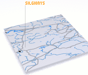
Disclaimer :: Information on this page comes without warranty of any kind |
||
|
Where is Silgionys? Elevation and coordinates ::
Latitude (lat): 54°30'0"N Longitude (lon): 24°10'0"E
Elevation (approx.): 114m (map arrows pan, magnifying glasses zoom) |
||
|
Visiting Silgionys? Hotel/Accommodation ::
Book a hotel in Silgionys Travel Guide ::
Buy a travel guide for Lithuania rental cars ::
car rental offers GPS waypoint ::
download a GPX waypoint (PoI) of Silgionys for your GPS receiver
|
||