|
search place name
|
||
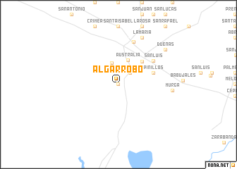
Algarrobo (Matanzas, Cuba)Algarrobo is a town in the Matanzas region of Cuba. An overview map of the region around Algarrobo is displayed below.
regional and 3d topo map of Algarrobo, Cuba ::
Algarrobo airports ::
The nearest airport is VRA - Varadero Juan Gualberto Gomez Intl, located 69.4 km north west of Algarrobo.
Other airports nearby include CFG - Cienfuegos Jaime Gonzalez (83.5 km south east), CYO - Cayo Vilo Acuna Intl (102.6 km south west), SNU - Santa Clara Abel Santamaria (124.2 km east), HAV - Havana Jose Marti Intl (141.7 km north west), Nearby towns ::
Los Alpes (0.0km north) //
Morejón (0.0km north) //
La Caoba (2.5km north east) //
La Perla (3.6km north) //
Australia (4.1km north) //
San Juan (5.0km north east) //
Pinillos (5.5km east) //
San Luis (6.3km north east) //
Jagüey Grande (7.1km north) //
La María (8.2km north east) //
Murga (7.9km east) //
Dueñas (8.8km north east) //
[all distances 'as the bird flies' and approximate] 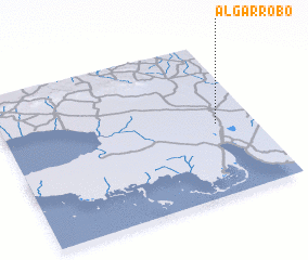 Places with similar names to Algarrobo, Cuba ::
Disclaimer :: Information on this page comes without warranty of any kind |
||
|
Where is Algarrobo? Elevation and coordinates ::
Latitude (lat): 22°28'0"N Longitude (lon): 81°9'0"W
Elevation (approx.): 8m (map arrows pan, magnifying glasses zoom) |
||
|
Visiting Algarrobo? Hotel/Accommodation ::
Book a hotel in Algarrobo Travel Guide ::
Buy a travel guide for Cuba rental cars ::
car rental offers GPS waypoint ::
download a GPX waypoint (PoI) of Algarrobo for your GPS receiver
|
||