|
search place name
|
||
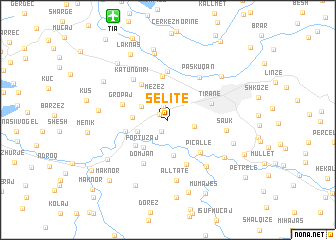
Selitë (Tiranë, Albania)Selitë is a town in the Tiranë region of Albania. An overview map of the region around Selitë is displayed below.
regional and 3d topo map of Selitë, Albania ::
Selitë airports ::
The nearest airport is TIA - Tirana Rinas, located 12.4 km north of Selitë.
Other airports nearby include OHD - Ohrid (82.4 km east), TGD - Podgorica (124.3 km north), TIV - Tivat (149.6 km north west), KSO - Kastoria Aristotelis (159.2 km south east), Nearby towns ::
(( Hoxhaj )) (1.0km north west) //
Sharrë (1.4km south west) //
Yzberish (1.6km north) //
Mëzez (2.8km north) //
Selita e Vogël (2.4km east) //
(( Bakall )) (2.6km north west) //
Bërzetë (3.1km north west) //
Vaqarr (2.9km south west) //
Prush (3.0km west) //
Bulticë (3.9km south) //
(( Fortuzaj )) (3.7km south west) //
Domjan-Fortuzaj (3.9km south west) //
Bregu i Lumit (4.8km north) //
Yrshek (4.5km north west) //
Lalm (3.8km west) //
Picallë (4.5km south east) //
Tiranë (4.1km north east) //
Gropaj (4.1km north west) //
Arbanë (5.2km south) //
Kodër-Kamëz (5.4km north) //
(( Domjan )) (5.3km south west) //
Katundi i Ri (5.4km north west) //
Paskuqan (5.5km north east) //
Sauk (5.0km east) //
Vishaj (6.1km south east) //
(( Alltatë )) (6.8km south) //
Stërmas (6.3km south east) //
Bathore (7.5km north) //
Babru (6.6km north east) //
[all distances 'as the bird flies' and approximate] 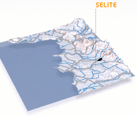 Places with similar names to Selitë, Albania ::
Disclaimer :: Information on this page comes without warranty of any kind |
||
|
Where is Selitë? Elevation and coordinates ::
Latitude (lat): 41°18'39"N Longitude (lon): 19°46'30"E
Elevation (approx.): 120m (map arrows pan, magnifying glasses zoom) |
||
|
Visiting Selitë? Hotel/Accommodation ::
Book a hotel in Selitë Travel Guide ::
Buy a travel guide for Albania rental cars ::
car rental offers GPS waypoint ::
download a GPX waypoint (PoI) of Selitë for your GPS receiver
|
||