|
search place name
|
||
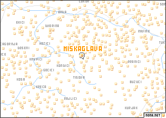
Miska Glava (Bosnia and Herzegovina)Miska Glava is a town in Bosnia and Herzegovina. An overview map of the region around Miska Glava is displayed below.
regional and 3d topo map of Miska Glava, Bosnia and Herzegovina ::
Miska Glava airports ::
The nearest airport is ZAG - Zagreb, located 96.3 km north of Miska Glava.
Other airports nearby include ZAD - Zadar (132.1 km south west), SPU - Split (156.9 km south), RJK - Rijeka (157.5 km west), MBX - Maribor (183.3 km north), Nearby towns ::
Kneževići (0.8km south) //
Gajići (0.7km south east) //
Radulovići (0.9km north west) //
Janjoši (0.7km north east) //
Vukići (1.3km south) //
Malinići (1.3km north) //
Bilbije (1.5km north) //
Ðurići (1.9km south) //
Bijelo Vrelo (1.9km north) //
Čaire (1.9km north east) //
Katane (1.6km east) //
Jurekići (1.9km south west) //
Šolaja (2.2km north east) //
Sredići (1.8km west) //
Milojice (2.6km south) //
Kneževići (2.3km south east) //
Šibovi (2.0km north east) //
Donja Ravska (2.0km west) //
Vokići (2.4km north west) //
Gavranovići (2.2km west) //
Pećanac (2.8km south east) //
Komosari (3.1km north) //
Matijevići (2.4km west) //
Panići (3.2km north) //
Milojice (3.0km south west) //
Milojice (3.6km north) //
Kondići (3.1km south west) //
Sokolište (3.6km north) //
Jakići (2.8km north east) //
[all distances 'as the bird flies' and approximate] 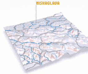 Places with similar names to Miska Glava, Bosnia and Herzegovina :: Disclaimer :: Information on this page comes without warranty of any kind |
||
|
Where is Miska Glava? Elevation and coordinates ::
Latitude (lat): 44°56'26"N Longitude (lon): 16°31'57"E
Elevation (approx.): 206m (map arrows pan, magnifying glasses zoom) |
||
|
Visiting Miska Glava? Hotel/Accommodation ::
Book a hotel in Miska Glava Travel Guide ::
rental cars ::
car rental offers GPS waypoint ::
download a GPX waypoint (PoI) of Miska Glava for your GPS receiver
|
||