|
search place name
|
||
Abū Sīdhūm (Al Minyā, Egypt)Abū Sīdhūm is a town in the Al Minyā region of Egypt. An overview map of the region around Abū Sīdhūm is displayed below.
regional and 3d topo map of Abū Sīdhūm, Egypt ::

Abū Sīdhūm airports ::
The nearest airport is CAI - Cairo Intl, located 212.6 km north of Abū Sīdhūm.
Nearby towns ::
Kawm ar Rāhib (0.0km north) //
Nazlat aş Şurmānī (3.8km north east) //
Shūshah (4.9km south east) //
Ţarfāʼ (5.6km north) //
Manqaţīn (4.9km east) //
Nazlat Isţāl (6.1km north east) //
Sāqiyat Dāqūf (7.6km north) //
Dāqūf (7.6km north) //
Dayr Samālūţ (7.5km south east) //
Aţ Ţayyibah (8.1km south east) //
Ash Shaykh ‘Abd Allāh (9.9km south east) //
Minbāl (9.9km north east) //
[all distances 'as the bird flies' and approximate] 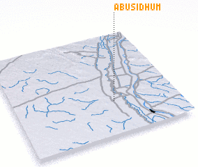 Places with similar names to Abū Sīdhūm, Egypt :: Disclaimer :: Information on this page comes without warranty of any kind |
||
|
Where is Abū Sīdhūm? Elevation and coordinates ::
Latitude (lat): 28°20'0"N Longitude (lon): 30°37'0"E
Elevation (approx.): 34m (map arrows pan, magnifying glasses zoom) |
||
|
Visiting Abū Sīdhūm? Hotel/Accommodation ::
Book a hotel in Abū Sīdhūm Travel Guide ::
Buy a travel guide for Egypt rental cars ::
car rental offers GPS waypoint ::
download a GPX waypoint (PoI) of Abū Sīdhūm for your GPS receiver
|
||