|
search place name
|
||
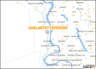
Khalwat aţ Ţarrānah (Al Buḩayrah, Egypt)Khalwat aţ Ţarrānah is a town in the Al Buḩayrah region of Egypt. An overview map of the region around Khalwat aţ Ţarrānah is displayed below.
regional and 3d topo map of Khalwat aţ Ţarrānah, Egypt ::
Khalwat aţ Ţarrānah airports ::
The nearest airport is CAI - Cairo Intl, located 65.0 km south east of Khalwat aţ Ţarrānah.
Other airports nearby include ALY - Alexandria Intl (118.7 km north west), PSD - Port Said (164.0 km north east), Nearby towns ::
Khalwat Sīdī Shāhīn (0.0km north) //
Aţ Ţarrānah (0.0km north) //
Zāwiyat Razīn (2.4km south east) //
Şanşafţ (2.4km north east) //
Al Ikhmās (3.7km south) //
Kafr Dāʼūd (4.0km north west) //
Jizayy (4.0km north east) //
Al Khaţāţibah (5.6km south) //
Kafr Damallīj (5.1km east) //
Damallīj (5.1km east) //
Kafr Bilmishţ (5.1km east) //
Bihwāsh (6.1km south east) //
Bilmishţ (6.1km north east) //
Barhīm (6.1km north east) //
Abū Nushshābah (7.6km south) //
Sudūd (6.7km east) //
Al Burayjāt (7.7km north) //
Sāqiyat al Manqadī (7.3km south east) //
Ţamalāy (7.9km north) //
Ţahwāy (8.1km south east) //
Minshāt Ghamrīn (7.4km north east) //
[all distances 'as the bird flies' and approximate] 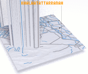 Places with similar names to Khalwat aţ Ţarrānah, Egypt :: Disclaimer :: Information on this page comes without warranty of any kind |
||
|
Where is Khalwat aţ Ţarrānah? Elevation and coordinates ::
Latitude (lat): 30°26'0"N Longitude (lon): 30°50'0"E
Elevation (approx.): 8m (map arrows pan, magnifying glasses zoom) |
||
|
Visiting Khalwat aţ Ţarrānah? Hotel/Accommodation ::
Book a hotel in Khalwat aţ Ţarrānah Travel Guide ::
Buy a travel guide for Egypt rental cars ::
car rental offers GPS waypoint ::
download a GPX waypoint (PoI) of Khalwat aţ Ţarrānah for your GPS receiver
|
||