|
search place name
|
||
Lejasstrazdi (Dobeles Rajons, Latvia)Lejasstrazdi is a town in the Dobeles Rajons region of Latvia. An overview map of the region around Lejasstrazdi is displayed below.
regional and 3d topo map of Lejasstrazdi, Latvia ::

Nearby towns ::
(( Sīpele )) (2.6km north) //
Miltiņi (3.9km south east) //
Dobele (4.6km south west) //
(( Luste )) (4.9km north east) //
Jaunās Mājas (3.6km west) //
Bērzkrasti (7.5km south) //
(( Kreijas )) (4.7km south east) //
Lielbērze (4.7km south west) //
Pēteri (8.6km north) //
Bērzbeķe (4.9km west) //
(( Bērzsīpele )) (8.5km north east) //
Pienava (9.6km north west) //
Jaunbērze (9.8km north east) //
[all distances 'as the bird flies' and approximate] 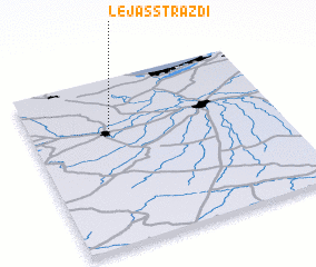 Places with similar names to Lejasstrazdi, Latvia :: Disclaimer :: Information on this page comes without warranty of any kind |
||
|
Where is Lejasstrazdi? Elevation and coordinates ::
Latitude (lat): 56°39'41"N Longitude (lon): 23°18'46"E
Elevation (approx.): 38m (map arrows pan, magnifying glasses zoom) |
||
|
Visiting Lejasstrazdi? Hotel/Accommodation ::
Book a hotel in Lejasstrazdi Travel Guide ::
Buy a travel guide for Latvia rental cars ::
car rental offers GPS waypoint ::
download a GPX waypoint (PoI) of Lejasstrazdi for your GPS receiver
|
||