|
search place name
|
||
Fîncel (Covurlui, Romania)Fîncel is a town in the Covurlui region of Romania. An overview map of the region around Fîncel is displayed below.
regional and 3d topo map of Fîncel, Romania ::

Fîncel airports ::
The nearest airport is TGM - Tirgu Mures Vidrasau, located 67.9 km west of Fîncel.
Other airports nearby include SBZ - Sibiu (112.6 km south west), BCM - Bacau (126.2 km east), CLJ - Cluj-napoca Cluj Napoca (131.0 km west), SCV - Suceava Stefan Cel Mare (167.9 km north east), Nearby towns ::
Tămaşu (1.9km south) //
Ulcani (1.9km south) //
Tibodu (2.3km south east) //
Bulgăreni (2.6km west) //
Piatra Craiului (2.6km east) //
Valea Rotundă (2.6km east) //
Sîncraiu (2.6km east) //
Dealu (3.9km north) //
Poloniţa (4.5km south west) //
Bisericani (3.8km west) //
Sîncel (3.8km west) //
Senced (3.8km west) //
Beclean (5.7km south) //
Cădişeni (6.1km south east) //
Tîrnoviţa (5.1km east) //
Păltiniş (5.4km west) //
Lupeni (5.4km west) //
Morăreni (5.4km west) //
Brădeşti (5.4km east) //
Odorheiu Secuiesc (7.5km south) //
Forţeni (8.3km south west) //
[all distances 'as the bird flies' and approximate] 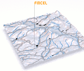 Places with similar names to Fîncel, Romania ::
Disclaimer :: Information on this page comes without warranty of any kind |
||
|
Where is Fîncel? Elevation and coordinates ::
Latitude (lat): 46°22'0"N Longitude (lon): 25°17'0"E
Elevation (approx.): 641m (map arrows pan, magnifying glasses zoom) |
||
|
Visiting Fîncel? Hotel/Accommodation ::
Book a hotel in Fîncel Travel Guide ::
Buy a travel guide for Romania rental cars ::
car rental offers GPS waypoint ::
download a GPX waypoint (PoI) of Fîncel for your GPS receiver
|
||