|
search place name
|
||
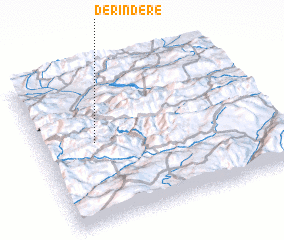
Derindere (Tunceli, Turkey)Derindere is a town in the Tunceli region of Turkey. An overview map of the region around Derindere is displayed below.
regional and 3d topo map of Derindere, Turkey ::

Derindere airports ::
The nearest airport is ERC - Erzincan, located 64.4 km west of Derindere.
Other airports nearby include ERZ - Erzurum (92.7 km north east), EZS - Elazig (131.4 km south west), TZX - Trabzon (167.1 km north), DIY - Diyabakir Diyarbakir (181.7 km south), Nearby towns ::
 Places with similar names to Derindere, Turkey ::
// Triandría (GR)
// Drŭndar (BG)
// Derindere (TR)
// Torondra (MG)
// Darān Darreh (IR)
// Trintre (CL)
// Tronadora (CR)
// Tiríndaro (MX)
// Deïr Ntâr (LB)
// Darou Ndiar (SN)
Disclaimer :: Information on this page comes without warranty of any kind |
||
|
Where is Derindere? Elevation and coordinates ::
Latitude (lat): 39°31'50"N Longitude (lon): 40°14'25"E
Elevation (approx.): 1796m (map arrows pan, magnifying glasses zoom) |
||
|
Visiting Derindere? Hotel/Accommodation ::
Book a hotel in Derindere Travel Guide ::
Buy a travel guide for Turkey rental cars ::
car rental offers GPS waypoint ::
download a GPX waypoint (PoI) of Derindere for your GPS receiver
|
||