|
search place name
|
||
Slavna (Ukraine)Slavna is a town in Ukraine. An overview map of the region around Slavna is displayed below.
regional and 3d topo map of Slavna, Ukraine ::

Slavna airports ::
The nearest airport is IEV - Kiev Zhuliany Intl, located 160.8 km north east of Slavna.
Other airports nearby include KBP - Kiev Boryspil Intl (178.6 km north east), Nearby towns ::
Zozov (3.9km north) //
Ksaverovka (4.1km south west) //
Ulʼyanovka (4.1km south east) //
Ganovka (4.1km north east) //
Skakunka (5.7km south) //
Lypovets' (5.7km south) //
Zozovo (5.2km north west) //
Gaysin (6.1km south east) //
Nartsizovka (5.2km west) //
Aleksandrovka (7.5km north) //
Vitsentovka (6.1km south east) //
Berëstovka (7.4km south west) //
[all distances 'as the bird flies' and approximate] 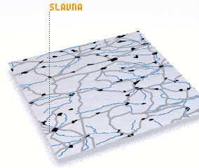 Places with similar names to Slavna, Ukraine ::
Disclaimer :: Information on this page comes without warranty of any kind |
||
|
Where is Slavna? Elevation and coordinates ::
Latitude (lat): 49°17'0"N Longitude (lon): 29°2'0"E
Elevation (approx.): 257m (map arrows pan, magnifying glasses zoom) |
||
|
Visiting Slavna? Hotel/Accommodation ::
Book a hotel in Slavna Travel Guide ::
Buy a travel guide for Ukraine rental cars ::
car rental offers GPS waypoint ::
download a GPX waypoint (PoI) of Slavna for your GPS receiver
|
||