|
search place name
|
||
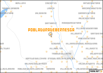
Pobladura de Bernesga (Castilla y León, Spain)Pobladura de Bernesga is a town in the Castilla y León region of Spain. An overview map of the region around Pobladura de Bernesga is displayed below.
regional and 3d topo map of Pobladura de Bernesga, Spain ::
Pobladura de Bernesga airports ::
The nearest airport is OVD - Aviles Asturias, located 104.9 km north of Pobladura de Bernesga.
Other airports nearby include VLL - Valladolid (124.7 km south east), BGC - Braganca (126.2 km south west), SDR - Santander (170.2 km north east), SLM - Salamanca (190.7 km south), Nearby towns ::
Lorenzana (0.0km north) //
Barrio de El Campo de Santibáñez (1.9km north) //
Sariegos (1.9km south) //
Cuadros (3.7km north) //
Santibáñez (3.7km north) //
Carbajal de la Legua (3.3km south east) //
Azadinos (3.9km south) //
Villabalter (5.7km south) //
Ferral del Bernesga (5.7km south) //
San Andrés del Rabanedo (6.2km south east) //
Cabanillas (7.4km north) //
Ríosequino de Torío (6.6km north east) //
Valsemana (7.9km north) //
Navatejera (6.6km south east) //
Trobajo del Camino (7.9km south) //
León (9.2km south east) //
[all distances 'as the bird flies' and approximate] 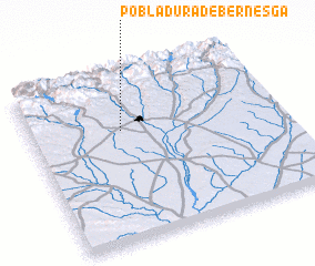 Places with similar names to Pobladura de Bernesga, Spain :: Disclaimer :: Information on this page comes without warranty of any kind |
||
|
Where is Pobladura de Bernesga? Elevation and coordinates ::
Latitude (lat): 42°40'0"N Longitude (lon): 5°38'0"W
Elevation (approx.): 884m (map arrows pan, magnifying glasses zoom) |
||
|
Visiting Pobladura de Bernesga? Hotel/Accommodation ::
Book a hotel in Pobladura de Bernesga Travel Guide ::
Buy a travel guide for Spain rental cars ::
car rental offers GPS waypoint ::
download a GPX waypoint (PoI) of Pobladura de Bernesga for your GPS receiver
|
||