|
search place name
|
||
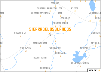
Sierra de los Blancos (Aragón, Spain)Sierra de los Blancos is a town in the Aragón region of Spain. An overview map of the region around Sierra de los Blancos is displayed below.
regional and 3d topo map of Sierra de los Blancos, Spain ::
Sierra de los Blancos airports ::
The nearest airport is ZAZ - Zaragoza Ab, located 63.5 km south of Sierra de los Blancos.
Other airports nearby include PNA - Pamplona (96.1 km north west), LDE - Tarbes Lourdes (125.3 km north east), PUF - Pau Pyrenees (134.1 km north), EAS - San Sebastian (153.4 km north west), Nearby towns ::
Presa del Gállego (2.3km south east) //
Biscarrués (4.0km north) //
Casas de Esper (4.6km south west) //
Piedramorrera (4.6km north east) //
Puendeluna (5.7km south) //
Losanglis (6.9km north east) //
Sierra de Estronad (7.9km north) //
Arén (7.9km north) //
Puipullín (7.9km south) //
[all distances 'as the bird flies' and approximate] 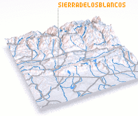 Places with similar names to Sierra de los Blancos, Spain :: Disclaimer :: Information on this page comes without warranty of any kind |
||
|
Where is Sierra de los Blancos? Elevation and coordinates ::
Latitude (lat): 42°12'0"N Longitude (lon): 0°46'0"W
Elevation (approx.): 485m (map arrows pan, magnifying glasses zoom) |
||
|
Visiting Sierra de los Blancos? Hotel/Accommodation ::
Book a hotel in Sierra de los Blancos Travel Guide ::
Buy a travel guide for Spain rental cars ::
car rental offers GPS waypoint ::
download a GPX waypoint (PoI) of Sierra de los Blancos for your GPS receiver
|
||