|
search place name
|
||
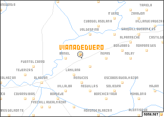
Viana de Duero (Castilla y León, Spain)Viana de Duero is a town in the Castilla y León region of Spain. An overview map of the region around Viana de Duero is displayed below.
regional and 3d topo map of Viana de Duero, Spain ::
Viana de Duero airports ::
The nearest airport is ZAZ - Zaragoza Ab, located 118.3 km east of Viana de Duero.
Other airports nearby include TOJ - Madrid Torrejon (142.4 km south west), MAD - Madrid Barajas (148.9 km south west), VIT - Vitoria (151.6 km north), PNA - Pamplona (152.6 km north east), Nearby towns ::
Moñux (2.3km south east) //
Baniel (2.8km west) //
La Milana (4.0km south) //
Nepas (4.2km east) //
Perdices (5.6km south) //
Valdespina (5.7km north) //
Neguillas (7.5km south) //
Villalba (7.9km south) //
Cubo de la Solana (7.9km north) //
Almarail (7.9km north east) //
Soliedra (9.3km south east) //
[all distances 'as the bird flies' and approximate] 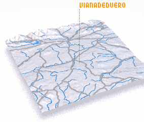 Places with similar names to Viana de Duero, Spain ::
// Fonte do Rei (PT)
// Fundo da Rua (PT)
// Fundătura (RO)
// Fundătura (RO)
// Fundătura (RO)
// Fundătura (RO)
// Fundătura (RO)
// Fundătura (RO)
// Fundătura (RO)
// Fundătura (RO)
Disclaimer :: Information on this page comes without warranty of any kind |
||
|
Where is Viana de Duero? Elevation and coordinates ::
Latitude (lat): 41°32'0"N Longitude (lon): 2°27'0"W
Elevation (approx.): 982m (map arrows pan, magnifying glasses zoom) |
||
|
Visiting Viana de Duero? Hotel/Accommodation ::
Book a hotel in Viana de Duero Travel Guide ::
Buy a travel guide for Spain rental cars ::
car rental offers GPS waypoint ::
download a GPX waypoint (PoI) of Viana de Duero for your GPS receiver
|
||