|
search place name
|
||
Narys-Tau (Bashkortostan, Russia)Narys-Tau is a town in the Bashkortostan region of Russia. An overview map of the region around Narys-Tau is displayed below.
regional and 3d topo map of Narys-Tau, Russia ::

Narys-Tau airports ::
The nearest airport is UFA - Ufa, located 96.0 km north east of Narys-Tau.
Nearby towns ::
Il'chegulovo (2.2km south west) //
Tebetovo (3.9km north) //
Chibinli (2.9km north west) //
Saryshevo (5.7km north) //
Sergeyevka (7.4km south) //
Petrovka (4.7km north east) //
Novoye Il'chegulovo (6.5km south west) //
Kunkas (5.7km south west) //
Novyy Kipchak (5.7km north east) //
[all distances 'as the bird flies' and approximate] 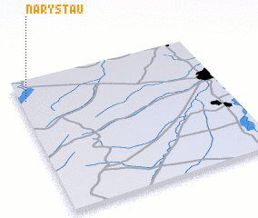 Places with similar names to Narys-Tau, Russia ::
// Norris City (US)
// Neu Rieste (DE)
// Nierst (DE)
// Næroset (NO)
// Narestø (NO)
// Nurste (EE)
// Narost' (RU)
// Naricita (VE)
// Norusaet'ŏ (KR)
// New Warisota (PG)
Disclaimer :: Information on this page comes without warranty of any kind |
||
|
Where is Narys-Tau? Elevation and coordinates ::
Latitude (lat): 53°51'0"N Longitude (lon): 55°2'0"E
Elevation (approx.): 111m (map arrows pan, magnifying glasses zoom) |
||
|
Visiting Narys-Tau? Hotel/Accommodation ::
Book a hotel in Narys-Tau Travel Guide ::
Buy a travel guide for Russia rental cars ::
car rental offers GPS waypoint ::
download a GPX waypoint (PoI) of Narys-Tau for your GPS receiver
|
||