|
search place name
|
||
Staryy Gorod (Belgorodskaya Oblast', Russia)Staryy Gorod is a town in the Belgorodskaya Oblast' region of Russia. An overview map of the region around Staryy Gorod is displayed below.
regional and 3d topo map of Staryy Gorod, Russia ::

Nearby towns ::
Blizhnyaya Igumenka (2.3km north west) //
Zelënaya Polyana (3.4km north) //
Yastrebovo (3.5km east) //
Belovskaya (5.3km south west) //
Razumnoye (8.0km south) //
Dal'nyaya Igumenka (8.9km north) //
[all distances 'as the bird flies' and approximate] 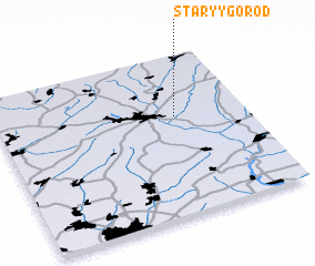 Places with similar names to Staryy Gorod, Russia ::
// Staryye Kardy (RU)
// Staryy Gorod (RU)
// Staryy Gorod (RU)
// Sterkrade (DE)
// Storgard (NO)
// Starogród (PL)
// Starogród (PL)
// Stari Grad (BA)
// Stari Grad (MK)
// Staryy Gorod (KZ)
Disclaimer :: Information on this page comes without warranty of any kind |
||
|
Where is Staryy Gorod? Elevation and coordinates ::
Latitude (lat): 50°36'47"N Longitude (lon): 36°42'48"E
Elevation (approx.): 191m (map arrows pan, magnifying glasses zoom) |
||
|
Visiting Staryy Gorod? Hotel/Accommodation ::
Book a hotel in Staryy Gorod Travel Guide ::
Buy a travel guide for Russia rental cars ::
car rental offers GPS waypoint ::
download a GPX waypoint (PoI) of Staryy Gorod for your GPS receiver
|
||