|
search place name
|
||
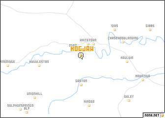
Hog Jaw (Arkansas, United States - USA)Hog Jaw is a town in the Arkansas region of United States - USA. An overview map of the region around Hog Jaw is displayed below.
regional and 3d topo map of Hog Jaw, United States - USA ::
Hog Jaw airports ::
The nearest airport is FSM - Fort Smith Rgnl, located 99.0 km north west of Hog Jaw.
Other airports nearby include TXK - Texarkana Rgnl Webb Fld (128.9 km south), LIT - Little Rock Adams Fld (141.2 km east), LRF - Jacksonville Little Rock Afb (151.3 km east), FYV - Fayetteville Drake Fld (160.4 km north), Nearby towns ::
Oden (2.9km north west) //
Whitetown (3.6km north) //
Pencil Bluff (4.0km north east) //
Gaston (5.8km south) //
Sims (9.0km north east) //
[all distances 'as the bird flies' and approximate] 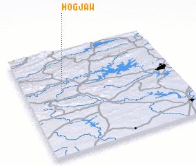 Places with similar names to Hog Jaw, United States - USA ::
Disclaimer :: Information on this page comes without warranty of any kind |
||
|
Where is Hog Jaw? Elevation and coordinates ::
Latitude (lat): 34°35'57"N Longitude (lon): 93°45'24"W
Elevation (approx.): 244m (map arrows pan, magnifying glasses zoom) |
||
|
Visiting Hog Jaw? Hotel/Accommodation ::
Book a hotel in Hog Jaw Travel Guide ::
rental cars ::
car rental offers GPS waypoint ::
download a GPX waypoint (PoI) of Hog Jaw for your GPS receiver
|
||