|
search place name
|
||
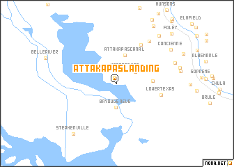
Attakapas Landing (Louisiana, United States - USA)Attakapas Landing is a town in the Louisiana region of United States - USA. An overview map of the region around Attakapas Landing is displayed below.
regional and 3d topo map of Attakapas Landing, United States - USA ::
Attakapas Landing airports ::
The nearest airport is BTR - Baton Rouge Metro Ryan Fld, located 75.8 km north of Attakapas Landing.
Other airports nearby include MSY - Louis Armstrong New Orleans Intl (83.1 km east), LFT - Lafayette Rgnl (93.9 km north west), NBG - New Orleans Nas Jrb (103.3 km east), ESF - Alexandria Esler Rgnl (205.9 km north west), Nearby towns ::
Upper Texas (2.4km north east) //
Bayou Crab (3.2km north east) //
Bayou Geneve (3.9km south) //
Attakapas Canal (4.7km north) //
Dwight Fields (5.0km east) //
Bellewood (7.1km north east) //
Lower Texas (6.4km east) //
Wildwood (8.2km north east) //
Cancienne (9.3km north east) //
Elm Hall Junction (9.7km north east) //
Stephenville (10.1km south west) //
Foley (11.0km north east) //
[all distances 'as the bird flies' and approximate] 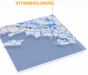 Places with similar names to Attakapas Landing, United States - USA :: Disclaimer :: Information on this page comes without warranty of any kind |
||
|
Where is Attakapas Landing? Elevation and coordinates ::
Latitude (lat): 29°51'3"N Longitude (lon): 91°6'11"W
Elevation (approx.): 6m (map arrows pan, magnifying glasses zoom) |
||
|
Visiting Attakapas Landing? Hotel/Accommodation ::
Book a hotel in Attakapas Landing Travel Guide ::
rental cars ::
car rental offers GPS waypoint ::
download a GPX waypoint (PoI) of Attakapas Landing for your GPS receiver
|
||