|
search place name
|
||
Congressional Manor (Maryland, United States - USA)Congressional Manor is a town in the Maryland region of United States - USA. An overview map of the region around Congressional Manor is displayed below.
regional and 3d topo map of Congressional Manor, United States - USA ::

Congressional Manor airports ::
The nearest airport is DCA - Ronald Reagan Washington Natl, located 19.9 km south east of Congressional Manor.
Other airports nearby include IAD - Washington Dulles Intl (25.2 km west), ADW - Camp Springs Andrews Afb (Washington Dc Naf) (33.7 km south east), BWI - Baltimore Washington Intl (47.9 km north east), APG - Aberdeen Phillips Aaf (101.1 km north east), Nearby towns ::
Campbell Corner (0.9km north west) //
Carderock Springs (1.0km south east) //
Charred Oak Estates (1.1km north east) //
Emery Corners (1.2km south east) //
Holly Hill (1.4km north east) //
Lelands Corner (2.0km north east) //
Burning Tree Estates (1.9km north east) //
Deerfield (2.1km north) //
Bradley Farms (1.9km north west) //
Rose Hill Estates (2.0km north east) //
Cabin John Park (2.4km south) //
McAuley Park (2.5km north) //
Ashleigh (2.4km north east) //
Bells Mill (2.8km north) //
Cabin John (2.8km south east) //
Kimberley (2.7km south east) //
Knollwood (3.0km north east) //
Bannockburn Estates (2.7km south east) //
Carderock (2.9km south west) //
Williamsburg Estates (2.7km north west) //
Longwood (2.8km north east) //
Wildwood Hills (3.2km north east) //
Bannockburn Heights (3.2km south east) //
Cohasset (3.3km south east) //
Parkview Hills (4.2km south) //
Bradley Hills Grove (3.4km east) //
Bannockburn (3.8km south east) //
Woodhaven (3.4km east) //
River Oaks (4.5km south) //
[all distances 'as the bird flies' and approximate] 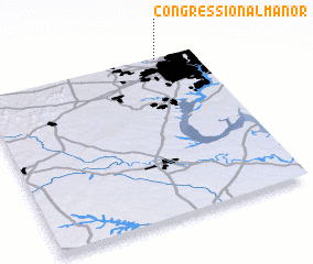 Places with similar names to Congressional Manor, United States - USA :: Disclaimer :: Information on this page comes without warranty of any kind |
||
|
Where is Congressional Manor? Elevation and coordinates ::
Latitude (lat): 38°59'50"N Longitude (lon): 77°10'23"W
Elevation (approx.): 93m (map arrows pan, magnifying glasses zoom) |
||
|
Visiting Congressional Manor? Hotel/Accommodation ::
Book a hotel in Congressional Manor Travel Guide ::
rental cars ::
car rental offers GPS waypoint ::
download a GPX waypoint (PoI) of Congressional Manor for your GPS receiver
|
||