|
search place name
|
||
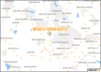
Brockton Heights (Massachusetts, United States - USA)Brockton Heights is a town in the Massachusetts region of United States - USA. An overview map of the region around Brockton Heights is displayed below.
regional and 3d topo map of Brockton Heights, United States - USA ::
Brockton Heights airports ::
The nearest airport is BOS - Boston General Edward Lawrence Logan Intl, located 31.0 km north of Brockton Heights.
Other airports nearby include BED - Bedford Laurence G Hanscom Fld (46.2 km north west), PVD - Providence Theodore Francis Green State (49.3 km south west), CEF - Chicopee Falls Westover Arb Metropolitan (122.0 km west), ACK - Nantucket Mem (125.0 km south east), Nearby towns ::
Winters Corner (2.0km south) //
Marshall Corner (3.2km south) //
South Stoughton (3.2km north west) //
Daley Corner (3.1km south west) //
Stoughton Junction (2.7km west) //
Morse Corner (4.6km south) //
North Easton (4.1km south west) //
South Easton (4.8km south) //
Brockton (3.9km east) //
Clifton Heights (4.6km south east) //
Manleys Corner (5.3km south) //
Avon (5.0km north east) //
Easton Green (5.4km south) //
Stoughton (5.1km north west) //
Montello (4.6km north east) //
Eastondale (5.9km south) //
Morris Corner (5.8km south) //
Campello (5.3km south east) //
Easton Station (6.1km south west) //
Easton Center (6.4km south west) //
North Stoughton (7.0km north) //
Four Corners (6.2km north west) //
Gowards Corner (7.1km south) //
Brookville (6.1km north east) //
West Meadow (6.9km south east) //
Brooks Place (6.8km south east) //
West Stoughton (6.7km north west) //
Cochesett (8.3km south) //
Randolph (8.4km north) //
[all distances 'as the bird flies' and approximate] 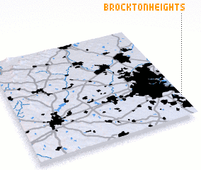 Places with similar names to Brockton Heights, United States - USA :: Disclaimer :: Information on this page comes without warranty of any kind |
||
|
Where is Brockton Heights? Elevation and coordinates ::
Latitude (lat): 42°5'20"N Longitude (lon): 71°3'55"W
Elevation (approx.): 77m (map arrows pan, magnifying glasses zoom) |
||
|
Visiting Brockton Heights? Hotel/Accommodation ::
Book a hotel in Brockton Heights Travel Guide ::
rental cars ::
car rental offers GPS waypoint ::
download a GPX waypoint (PoI) of Brockton Heights for your GPS receiver
|
||