|
search place name
|
||
Dias Creek (New Jersey, United States - USA)Dias Creek is a town in the New Jersey region of United States - USA. An overview map of the region around Dias Creek is displayed below.
regional and 3d topo map of Dias Creek, United States - USA ::

Dias Creek airports ::
The nearest airport is WWD - Wildwood Cape May Co, located 9.2 km south of Dias Creek.
Other airports nearby include MIV - Millville Muni (35.1 km north west), ACY - Atlantic City Intl (48.6 km north east), DOV - Dover Afb (50.8 km west), ILG - Wilmington New Castle (90.5 km north west), Nearby towns ::
Potato Island (1.7km east) //
Kimbles Beach (2.1km north west) //
Pierces Point (2.2km west) //
Pierces (3.0km south west) //
Highs Beach (2.7km south west) //
Reeds Beach (3.2km north) //
King Crab Landing (2.9km south west) //
Green Creek (5.1km south) //
Burleigh (5.4km south east) //
Mayville (4.9km south east) //
Whitesboro (5.9km south) //
Cape May Court House (4.9km east) //
Del Haven (5.8km south west) //
Goshen (6.3km north) //
Norburys Landing (5.9km south west) //
Wildwood Junction (6.7km south) //
Wildwood Gardens (7.0km south) //
Nummytown (7.2km south) //
Shellbed Landing (6.1km south east) //
Goshen Crossing (6.5km north east) //
Bennys Landing (6.3km east) //
Marlyn Manor (8.0km south) //
Rio Grande (8.3km south) //
Miami Beach (7.8km south west) //
Villas (8.4km south west) //
Fishing Creek (8.7km south west) //
Bowman Manor (9.3km south west) //
North Highlands Beach (9.9km south west) //
Grassy Sound (10.1km south east) //
[all distances 'as the bird flies' and approximate] 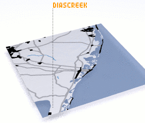 Places with similar names to Dias Creek, United States - USA ::
Disclaimer :: Information on this page comes without warranty of any kind |
||
|
Where is Dias Creek? Elevation and coordinates ::
Latitude (lat): 39°5'20"N Longitude (lon): 74°52'51"W
Elevation (approx.): 4m (map arrows pan, magnifying glasses zoom) |
||
|
Visiting Dias Creek? Hotel/Accommodation ::
Book a hotel in Dias Creek Travel Guide ::
rental cars ::
car rental offers GPS waypoint ::
download a GPX waypoint (PoI) of Dias Creek for your GPS receiver
|
||