|
search place name
|
||
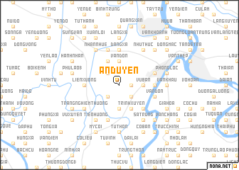
An Duyên (Vietnam)An Duyên is a town in Vietnam. An overview map of the region around An Duyên is displayed below.
regional and 3d topo map of An Duyên, Vietnam ::
An Duyên airports ::
The nearest airport is HAN - Hanoi Noibai Intl, located 96.5 km north of An Duyên.
Nearby towns ::
Mai Xá (2) (1.7km east) //
Bách Cốc (2.5km south east) //
Bảo Ngũ (2.5km south west) //
Bến Thôn (2.5km north west) //
Lập Vũ (2.5km north west) //
Ðắc Lực (3.7km south) //
Vạn Ðồn (3.7km north) //
Vu Bản (3.5km east) //
Trịnh Xuyên (4.1km south east) //
Dương Lai (4.1km south east) //
Lê Xá (4.1km north west) //
Quả Linh (5.1km south east) //
Lông Dông (5.2km east) //
Liên Xương (5.2km west) //
Ðặng Xá (5.6km north) //
Tân Cốc (5.5km east) //
Ðại An (5.5km east) //
Vân Ðôn (5.5km east) //
Nang Tinh (5.5km east) //
Nam Ðịnh (5.5km east) //
Mỹ Trọng (5.5km east) //
Lương Kiêt (5.8km south) //
Ðộ Viêt (5.8km north) //
Trang Nghiêm Thượng (6.4km south west) //
Sa Trung (6.6km south east) //
Như Thức (6.6km north east) //
Tien Hương (6.6km south west) //
Nhân Nhuế (6.6km north west) //
Thượng Hữu (6.9km east) //
[all distances 'as the bird flies' and approximate] 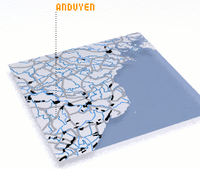
Disclaimer :: Information on this page comes without warranty of any kind |
||
|
Where is An Duyên? Elevation and coordinates ::
Latitude (lat): 20°24'0"N Longitude (lon): 106°7'0"E
Elevation (approx.): 3m (map arrows pan, magnifying glasses zoom) |
||
|
Visiting An Duyên? Hotel/Accommodation ::
Book a hotel in An Duyên Travel Guide ::
Buy a travel guide for Vietnam rental cars ::
car rental offers GPS waypoint ::
download a GPX waypoint (PoI) of An Duyên for your GPS receiver
|
||