|
search place name
|
||
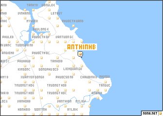
An Thinh (1) (Vietnam)An Thinh (1) is a town in Vietnam. An overview map of the region around An Thinh (1) is displayed below.
regional and 3d topo map of An Thinh (1), Vietnam ::
An Thinh (1) airports ::
The nearest airport is DAD - Danang Intl, located 111.6 km north west of An Thinh (1).
Nearby towns ::
Phú Nhiêu (5) (1.9km south) //
An Phước (2) (1.8km west) //
Lạc Sơn (2) (1.8km west) //
Phú Nhiêu (1) (2.6km south west) //
An Cường (1) (2.6km north west) //
Thanh Thủy (3.7km north) //
Liêm Quang (1) (4.1km south west) //
An Cường (2) (4.0km north west) //
An Thói (1) (4.1km north west) //
Vạn Tường (2) (5.1km north west) //
Nam Yên (7) (5.4km west) //
Tam Hội (1) (5.7km west) //
Châu Bình (1) (5.8km south) //
Phước Sơn (1) (6.6km south west) //
Nhân Hòa (2) (6.6km south west) //
Nam Yên (1) (6.5km north west) //
Trung Sơn (1) (7.6km south) //
Ðồng Xuân (1) (7.6km south) //
Phước Thuận (1) (7.6km north) //
Châu Thuân (1) (7.7km south east) //
Phú Quí (7.7km south east) //
Châu Thuận (2) (7.7km south east) //
Ðông Phước (3) (8.1km south west) //
An Thinh (2) (8.2km south west) //
Ðồng Xuân (2) (8.2km south east) //
Phú Long (5) (8.1km north west) //
An Hải (1) (9.2km south east) //
Phú Lộc (9.2km south east) //
Tân Ðức (9.2km south east) //
[all distances 'as the bird flies' and approximate] 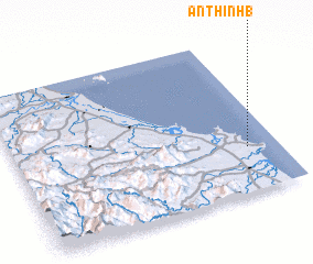 Places with similar names to An Thinh (1), Vietnam ::
// An Thanh (1) (VN)
// An Thành (1) (VN)
Disclaimer :: Information on this page comes without warranty of any kind |
||
|
Where is An Thinh (1)? Elevation and coordinates ::
Latitude (lat): 15°17'0"N Longitude (lon): 108°53'0"E
Elevation (approx.): -32768m (map arrows pan, magnifying glasses zoom) |
||
|
Visiting An Thinh (1)? Hotel/Accommodation ::
Book a hotel in An Thinh (1) Travel Guide ::
Buy a travel guide for Vietnam rental cars ::
car rental offers GPS waypoint ::
download a GPX waypoint (PoI) of An Thinh (1) for your GPS receiver
|
||