|
search place name
|
||
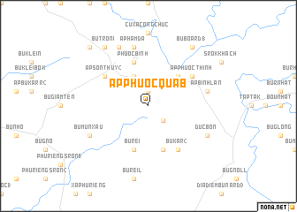
Ấp Phước Quả B (Sông Bé, Vietnam)Ấp Phước Quả B is a town in the Sông Bé region of Vietnam. An overview map of the region around Ấp Phước Quả B is displayed below.
regional and 3d topo map of Ấp Phước Quả B, Vietnam ::
Ấp Phước Quả B airports ::
The nearest airport is SGN - Ho Chi Minh City Tansonnhat Intl, located 111.5 km south of Ấp Phước Quả B.
Nearby towns ::
Ấp Phước Quả A (1.9km north) //
Bu Dienn (2.6km south east) //
Ấp Phước Sỏn (4.1km north west) //
Ấp Phước Lôc (5.2km north east) //
Ấp N'houar (5.2km north east) //
Phước Bình (5.8km north) //
Bu Kar (1) (5.8km south) //
Bu Reï (5.8km south) //
Ấp Sơn Thủy (2) (6.6km north west) //
Bu Kar (2) (6.6km south east) //
Ấp Phước Thinh (6.6km north east) //
Ấp Hầm Ðá (7.6km north) //
Ấp Bình Lan (7.5km east) //
Bà Rá (8.3km north west) //
Bu Mun Xau (8.1km south west) //
Ðức Bổn (8.1km south east) //
Bu Tron I (9.2km north west) //
Bu Board (1) (9.2km north east) //
Bu Brieng (10.4km north west) //
[all distances 'as the bird flies' and approximate] 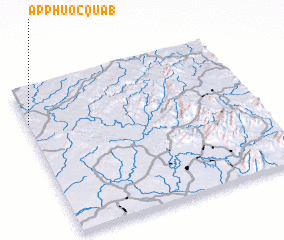 Places with similar names to Ấp Phước Quả B, Vietnam ::
// Ấp Gò Cao (1) (VN)
Disclaimer :: Information on this page comes without warranty of any kind |
||
|
Where is Ấp Phước Quả B? Elevation and coordinates ::
Latitude (lat): 11°46'0"N Longitude (lon): 107°0'0"E
Elevation (approx.): 223m (map arrows pan, magnifying glasses zoom) |
||
|
Visiting Ấp Phước Quả B? Hotel/Accommodation ::
Book a hotel in Ấp Phước Quả B Travel Guide ::
Buy a travel guide for Vietnam rental cars ::
car rental offers GPS waypoint ::
download a GPX waypoint (PoI) of Ấp Phước Quả B for your GPS receiver
|
||