|
search place name
|
||
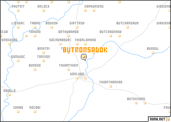
Bu Tron Sadok (Sông Bé, Vietnam)Bu Tron Sadok is a town in the Sông Bé region of Vietnam. An overview map of the region around Bu Tron Sadok is displayed below.
regional and 3d topo map of Bu Tron Sadok, Vietnam ::
Bu Tron Sadok airports ::
The nearest airport is SGN - Ho Chi Minh City Tansonnhat Intl, located 87.6 km south of Bu Tron Sadok.
Nearby towns ::
Bu Tron Kadouil (2.6km north east) //
Bu Xang (3.7km north) //
Thion Lâm Nho (3.7km north) //
Dồng Xoài (3.7km south) //
Giat Tru (2) (4.1km north west) //
Thuận Lợi (4.1km north west) //
Thuận Thiên (4.1km south west) //
Ðôn Luân (4.1km south west) //
Sóc Nombour (2) (6.6km north west) //
Ấp Thuận Hóa (6.6km north west) //
Giat Tru (1) (7.6km north) //
Bu Tchâo Nho (1) (7.8km north east) //
Thion Than Kao (7.8km south east) //
Bu Non (9.1km north east) //
Bou Koh (10.4km north west) //
[all distances 'as the bird flies' and approximate] 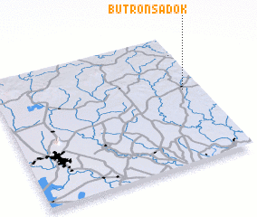 Places with similar names to Bu Tron Sadok, Vietnam :: Disclaimer :: Information on this page comes without warranty of any kind |
||
|
Where is Bu Tron Sadok? Elevation and coordinates ::
Latitude (lat): 11°34'0"N Longitude (lon): 106°55'0"E
Elevation (approx.): 82m (map arrows pan, magnifying glasses zoom) |
||
|
Visiting Bu Tron Sadok? Hotel/Accommodation ::
Book a hotel in Bu Tron Sadok Travel Guide ::
Buy a travel guide for Vietnam rental cars ::
car rental offers GPS waypoint ::
download a GPX waypoint (PoI) of Bu Tron Sadok for your GPS receiver
|
||