|
search place name
|
||
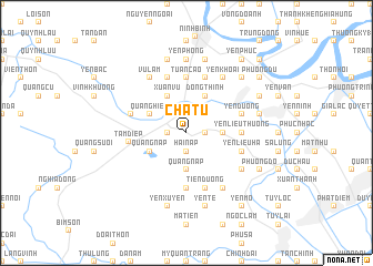
Chá Tu (Vietnam)Chá Tu is a town in Vietnam. An overview map of the region around Chá Tu is displayed below.
regional and 3d topo map of Chá Tu, Vietnam ::
Chá Tu airports ::
The nearest airport is HAN - Hanoi Noibai Intl, located 117.9 km north of Chá Tu.
Nearby towns ::
Liên Trì (1.7km east) //
Ðái Sơn (1.9km north) //
Lý Nhân (1.7km west) //
Hải Nạp (1.9km south) //
Chợ Gành (1.7km west) //
Phú Lăng (2.5km north west) //
Tiên Hưng (3.5km east) //
Quảng Nạp (3.7km south) //
Ðông Thịnh (4.1km north east) //
Dông Hội (4.1km north east) //
Xuân Vũ (4.1km north west) //
Quang Hiển (3.9km north west) //
Quảng Nap (3.9km south west) //
Yên Liêu Thượng (5.2km east) //
Tuân Cáo (5.6km north) //
Thôn Trung (5.6km south) //
Yên Dương (5.5km east) //
Tiên Dương (5.8km south) //
Ha Thôn (5.8km north) //
Làng Ca (5.5km west) //
Yên Liêu Hạ (5.5km east) //
Quang Phúc (5.5km east) //
Văn Lâm (5.8km north) //
Tam Ðiệp (5.6km west) //
Bồ Xuyên (6.6km south east) //
Yên Khoái (6.6km north east) //
Thiện Trạo (6.6km north east) //
Lộc Giáp (6.4km south east) //
Vũ Lâm (6.6km north west) //
[all distances 'as the bird flies' and approximate] 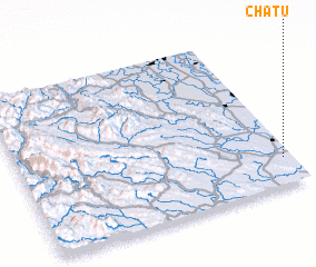 Places with similar names to Chá Tu, Vietnam ::
Disclaimer :: Information on this page comes without warranty of any kind |
||
|
Where is Chá Tu? Elevation and coordinates ::
Latitude (lat): 20°10'0"N Longitude (lon): 105°58'0"E
Elevation (approx.): 2m (map arrows pan, magnifying glasses zoom) |
||
|
Visiting Chá Tu? Hotel/Accommodation ::
Book a hotel in Chá Tu Travel Guide ::
Buy a travel guide for Vietnam rental cars ::
car rental offers GPS waypoint ::
download a GPX waypoint (PoI) of Chá Tu for your GPS receiver
|
||