|
search place name
|
||
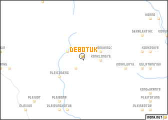
De Botuk (Vietnam)De Botuk is a town in Vietnam. An overview map of the region around De Botuk is displayed below.
regional and 3d topo map of De Botuk, Vietnam ::
De Botuk airports ::
The nearest airport is DAD - Danang Intl, located 206.5 km north of De Botuk.
Other airports nearby include NHA - Nhatrang (234.9 km south east), Nearby towns ::
De Botơk (2.6km south west) //
Kon Klong Ye (3.6km east) //
Kong H'dang (4.0km north west) //
Kong Se Kieng (2) (4.0km north east) //
Plei Cô Deng (6.5km south west) //
[all distances 'as the bird flies' and approximate] 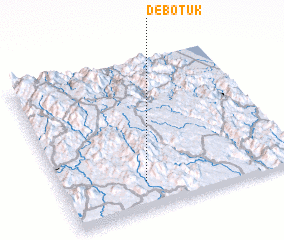 Places with similar names to De Botuk, Vietnam ::
// Tobidioga (BF)
// Debdoug (TD)
// Tabodak (ID)
// Tabotaki (NE)
// Dabadougou (GN)
// Dabadougou (GN)
// Diebidougou (GN)
// Doubadougou (GN)
// Doubadougou (GN)
// Doubadougou (GN)
Disclaimer :: Information on this page comes without warranty of any kind |
||
|
Where is De Botuk? Elevation and coordinates ::
Latitude (lat): 14°11'0"N Longitude (lon): 108°21'0"E
Elevation (approx.): 973m (map arrows pan, magnifying glasses zoom) |
||
|
Visiting De Botuk? Hotel/Accommodation ::
Book a hotel in De Botuk Travel Guide ::
Buy a travel guide for Vietnam rental cars ::
car rental offers GPS waypoint ::
download a GPX waypoint (PoI) of De Botuk for your GPS receiver
|
||